


Rando Marcheurs du 26/06/2025

boubou68
User
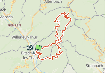


5h36
Difficulty : Very difficult

FREE GPS app for hiking
 SityTrail
IGN / Geographical institutes
SityTrail Plus
The world is yours!
About
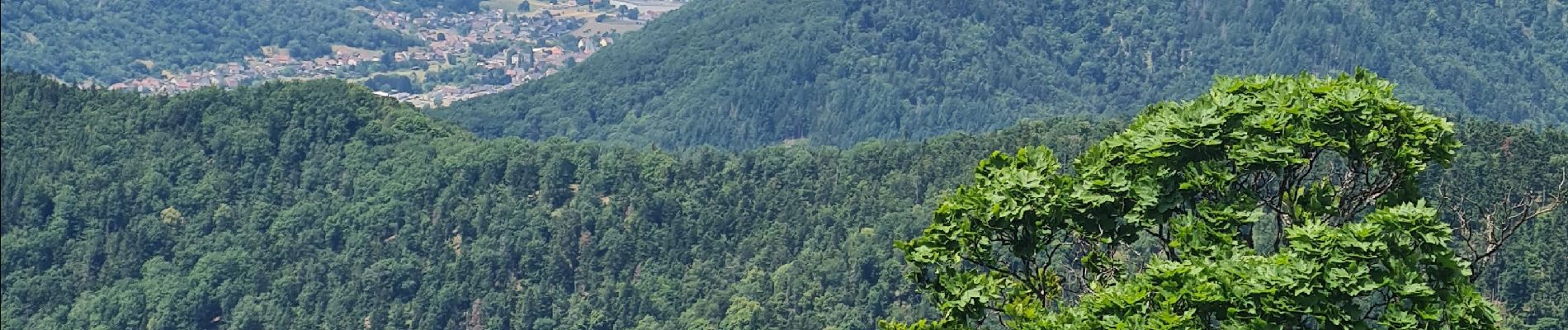
Trail Walking of 22 km to be discovered at Grand Est, Haut-Rhin, Bitschwiller-lès-Thann. This trail is proposed by boubou68.
Description
Merci à mes amis Hubi et Alain
Surprise nous avons galère pour atteindre
le PC 915 [ proximité FA Freudstein ] par un sentier balisé anneau jaune entièrement envahi par la végétation.
Nous avons improvisé une variable très agréable.
Bien le bonjour de A.Z à Chantal.
A Z rencontré à l'abri de Bechetkopf.
Photos


Positioning
Comments