


6.1 km | 7 km-effort

User


FREE GPS app for hiking
 SityTrail
IGN / Geographical institutes
SityTrail World
The world is yours!
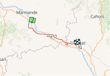
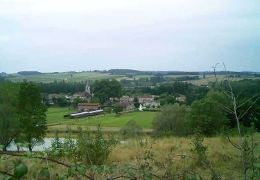
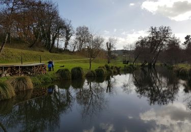
Trail Cycle of 116 km to be discovered at New Aquitaine, Lot-et-Garonne, Anzex. This trail is proposed by destras.
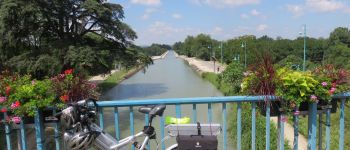
de casteljaloux à Castelssarasin
en vélo à assistance électrique VAE par le canal latéral à la Garonne


On foot
On foot

On foot

Mountain bike
Walking
Mountain bike

Walking
Walking

Walking