


27 km | 38 km-effort


User


FREE GPS app for hiking
 SityTrail
IGN / Geographical institutes
SityTrail World
The world is yours!
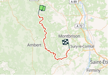
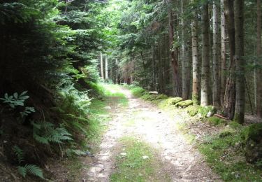
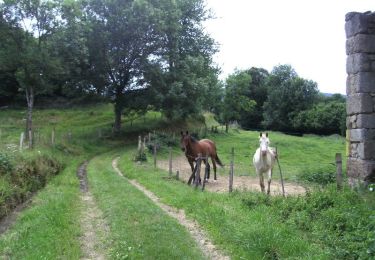
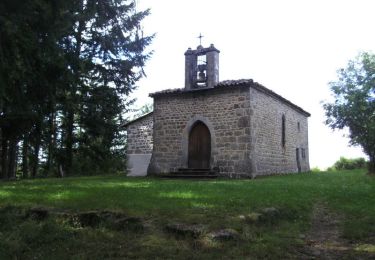
Trail Mountain bike of 79 km to be discovered at Auvergne-Rhône-Alpes, Loire, La Chambonie. This trail is proposed by ramsay.
Objectif : Hautes-Chaumes. Parcours magnifique à faire en période sèche. Hébergement au Col de la Loge. Accueil sympa

Equestrian
Equestrian
Walking
Walking
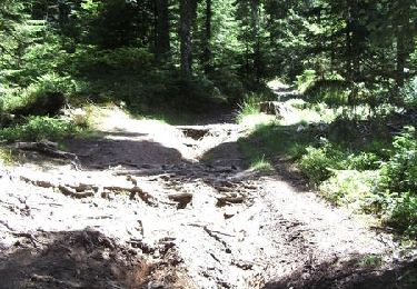
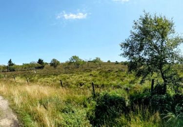
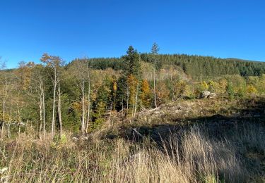
Mountain bike
Mountain bike
Mountain bike
Mountain bike
Walking