


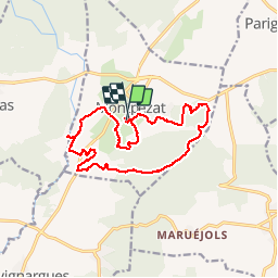


13.8 km | 17.2 km-effort

User


FREE GPS app for hiking
 SityTrail
IGN / Geographical institutes
SityTrail World
The world is yours!
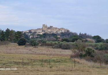
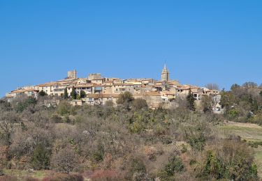
Trail Walking of 16.1 km to be discovered at Occitania, Gard, Montpezat. This trail is proposed by jeff66.
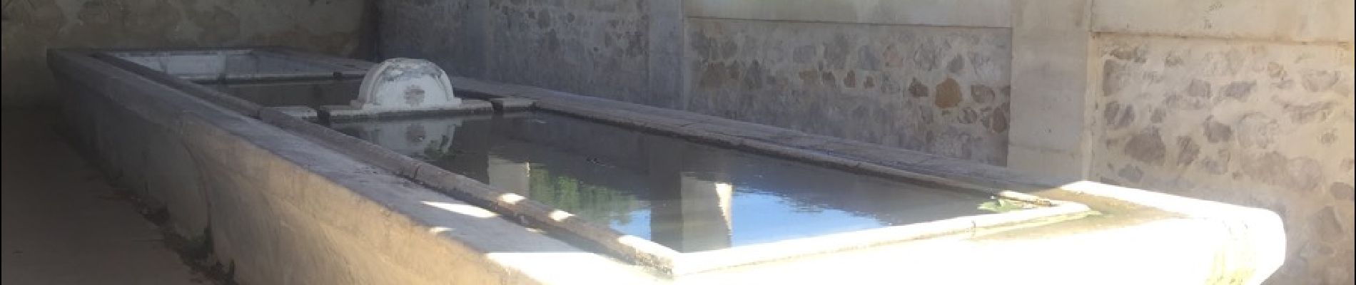
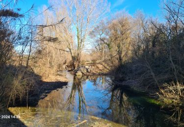
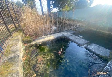
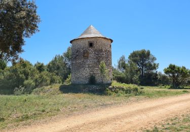
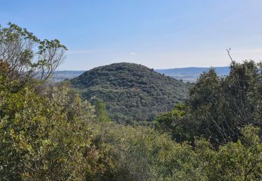
30 MONTPEZAT - place de l'église, la calade, rue de laparent, gué, Courignone, mas Margarot, passage en sous- vous, piste DFCI C6, ruisseau de Massargues, combe du terme, poursuivre sur C6, PI Les plantiers, continuer sur C6, direction le clos-souvignargues. Au PI Le clos quitter C6 et aller tout droit vers Aurouge - PI Aurouge prendre direction pont de Tourille - PI Pont de Tourille D22 - moulin de Tourille - le moulin à vent - D22 - sous-bois et forêt de pins - font Mounière - traverser la D22, prendre la D522, route de Sommières, rentrer dans MONTPEZAT, PI et chemin court toujours, mazet de Pujolas, gués et vues sur le village, PI combe obscure, DFCI C31 - lavoir - PI La Garenne - PI Place de la Garenne


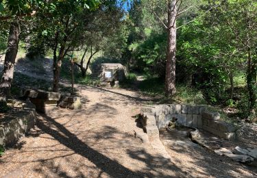
24 photos in total. Please click on a photo to see them all in the gallery.

Walking
Walking
Walking
Walking

Walking
Walking
Walking
ok