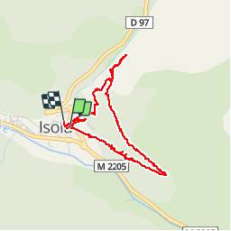


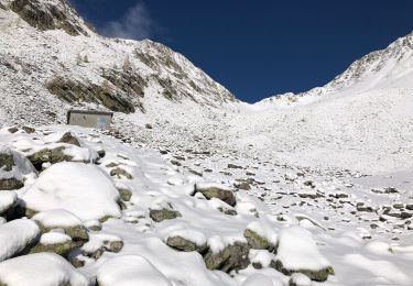
9.7 km | 20 km-effort

User


FREE GPS app for hiking
 SityTrail
IGN / Geographical institutes
SityTrail World
The world is yours!
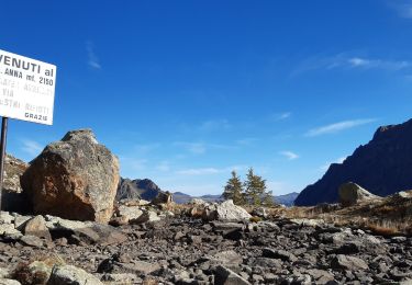
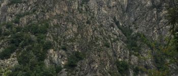
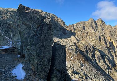
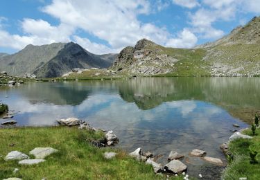
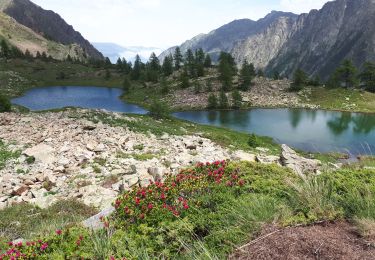
Trail Walking of 4.4 km to be discovered at Provence-Alpes-Côte d'Azur, Maritime Alps, Isola. This trail is proposed by jpnice06.
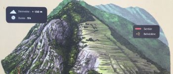
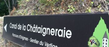
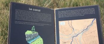
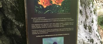
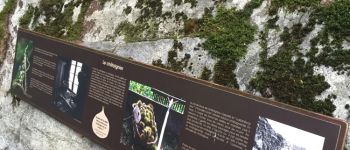
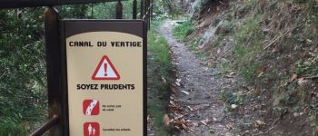
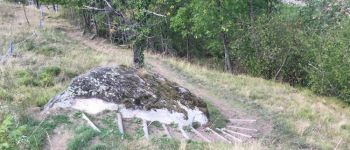
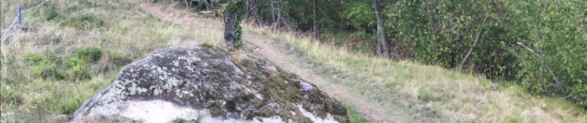
Belle balade agréable à Isola village pour découvrir et apprendre beaucoup de choses sur la châtaigneraie


Walking
Walking
Walking

On foot
Walking
Walking
Walking