Trail Walking Trouillas - 66 MAS DEU - VILLEMOLAQUE - vallée du RÉART - TROUILLAS  - Photo

66 MAS DEU - VILLEMOLAQUE - vallée du RÉART - TROUILLAS

 jeff66
jeff66

User

© OpenStreetMap contributors
Length
Length
9.9 km
Max alt
Max alt
127 m
Uphill gradient
Uphill gradient
99 m
Km-Effort
Km-Effort  
11.2 km
Min alt
Min alt
69 m
Downhill gradient
Downhill gradient
100 m
Boucle
Boucle
Yes
Creation date :
2015-09-25 00:00:00.0
Updated on :
2015-09-25 00:00:00.0

(0 Reviews)

Walking
Walking
1h41
Difficulty : Medium

Scan this QR Code to open this trail in the SityTrail application

FREE GPS app for hiking

Logo SityTrail SityTrail

IGN / Geographical institutes

Download SityTrail from the App Store Download SityTrail from Google Play

Logo SityTrail SityTrail World

The world is yours!

Download SityTrail from the App Store Download SityTrail from Google Play Download SityTrail on Huawei AppGallery

About

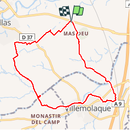
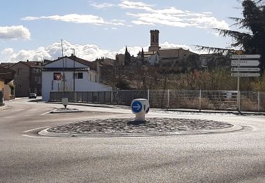
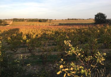
Trail Walking of 9.9 km to be discovered at Occitania, Pyrénées-Orientales, Trouillas. This trail is proposed by jeff66.

Description

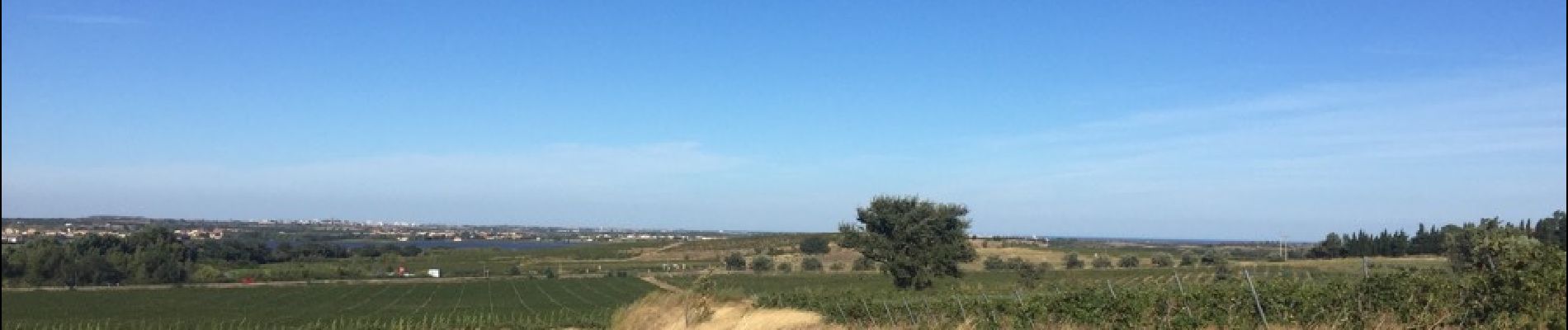
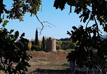
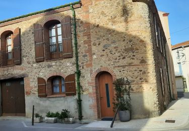
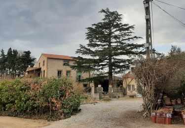
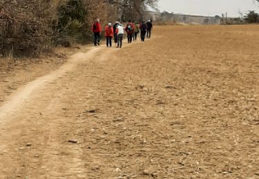
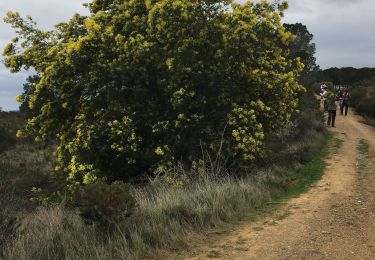
66 MAS DEU - parking à côté d'un champ D'abricotier a cote  de RD612 - Mas DEU - correc Del Gall - camp Del Prior - mas de la Machine - traverser la mRD37a, station d'épuration VILLEMOLAQUE, passage à proximité de l'A9 et de LGV, Camp Del Roure, supermarché Franprix, la Joncassa, cimetiere, Cami de la fontetes, avenue des Pyrénées, chemin des Hortes, le clos des chênes - la teuleria - vue sur le Monastir Del Camp - reart vallée, Mas Bolfa - mas Sabartes - la Serra - TROUILLAS - emprunter la RD37 - mas Siné - panorama sur la plaine Perpignan la côte

Elevation profile

Photos

Positioning

Country:
France
Region :
Occitania
Department/Province :
Pyrénées-Orientales
Municipality :
Trouillas
Location:
Unknown
Start:(UTM)
486332 ; 4717561 (31T) N.

Trails nearby

Trail Walking Saint-Jean-Lasseille - ST-JEAN-LASSEILLE 66 - terroirs des Aspres - Photo
Walking
jeff66

Walking

Easy
(1)
Saint-Jean-Lasseille, Occitania, Pyrénées-Orientales, France
12.2 km | 14.3 km-effort
2h 6min
Yes
Trail Walking Fourques - Fourques  - Photo
Walking
Fildesir

Walking

Very easy
(1)
Fourques, Occitania, Pyrénées-Orientales, France
14.2 km | 16.4 km-effort
5h 17min
Yes
Trail Mountain bike Canohès - canohes - Photo
Mountain bike
haroldtheviking

Mountain bike

Medium
(2)
Canohès, Occitania, Pyrénées-Orientales, France
37 km | 44 km-effort
2h 12min
Yes
Trail Walking Fourques - fourques sentier des histoires  - Photo
Walking
66Gribouille83

Walking

Medium
Fourques, Occitania, Pyrénées-Orientales, France
9.1 km | 10.9 km-effort
2h 47min
Yes
Trail Walking Passa - prieuré du monastir del camp - Photo
Walking
66Gribouille83

Walking

Medium
Passa, Occitania, Pyrénées-Orientales, France
9.7 km | 10.8 km-effort
3h 20min
Yes
Trail Walking Passa - monastur del camp different - Photo
Walking
66Gribouille83

Walking

Difficult
Passa, Occitania, Pyrénées-Orientales, France
11.1 km | 12.4 km-effort
2h 50min
Yes
Trail Walking Fourques - fourques - Photo
Walking
66Gribouille83

Walking

Medium
Fourques, Occitania, Pyrénées-Orientales, France
7.9 km | 9.3 km-effort
3h 13min
Yes
Trail Walking Fourques - Fourques chemin des histoires et forêt du Reart  - Photo
Walking
robertperello

Walking

Easy
Fourques, Occitania, Pyrénées-Orientales, France
36 km | 41 km-effort
4h 42min
No
Trail Walking Saint-Jean-Lasseille - 66 SAINT-JEAN-LASSEILLE, promenade dans les vignes autour de St-Jean - Photo
Walking
jeff66

Walking

Easy
Saint-Jean-Lasseille, Occitania, Pyrénées-Orientales, France
8.6 km | 9.8 km-effort
1h 41min
Yes


Close
My subscriptions