


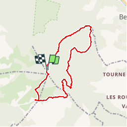


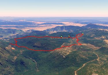
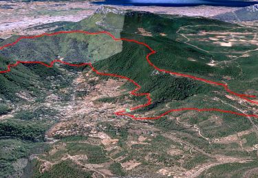
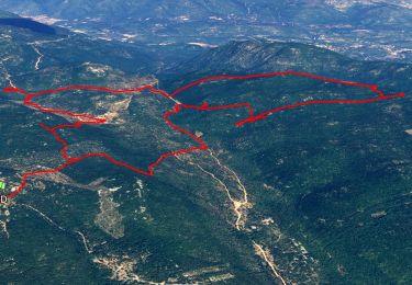
12.6 km | 16.7 km-effort

User


FREE GPS app for hiking
 SityTrail
IGN / Geographical institutes
SityTrail World
The world is yours!
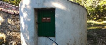
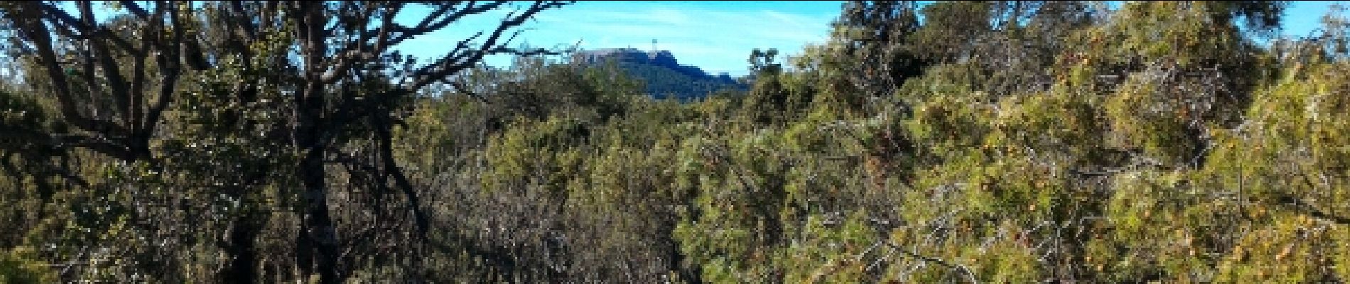
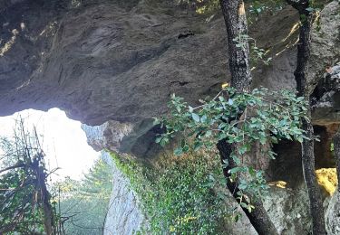
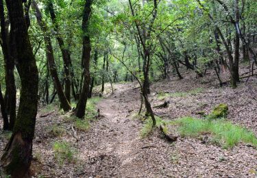
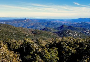
Trail Walking of 17.7 km to be discovered at Provence-Alpes-Côte d'Azur, Var, Solliès-Toucas. This trail is proposed by chrifor.
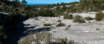
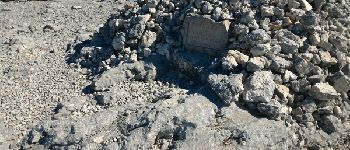
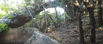
Belle rando variée sur le plateau de Signes. Vue sur la Ste Baume, les neiges alpines, et la mer des calanques aux îles d'Hyères


Walking
Walking
Walking
Walking
Walking

Walking

Walking
Walking

Walking