


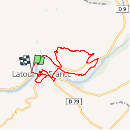


12.6 km | 17 km-effort

User


FREE GPS app for hiking
 SityTrail
IGN / Geographical institutes
SityTrail World
The world is yours!
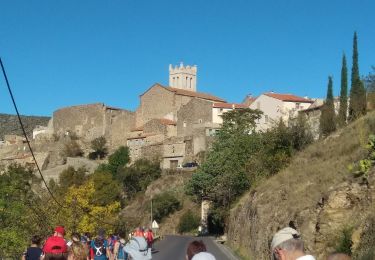
Trail Walking of 8.3 km to be discovered at Occitania, Pyrénées-Orientales, Latour-de-France. This trail is proposed by jeff66.
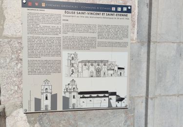
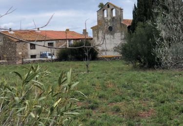
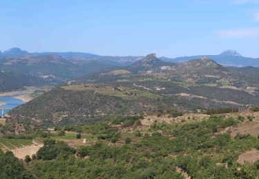
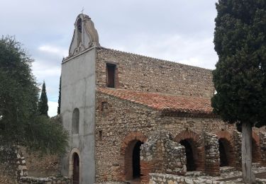
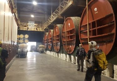
66 LATOUR-DE-FRANCE, parking aire de Pique nique après le pont sur l'agly en direction de Rasigueres , visite du village,Poste et mairie, place Marcel Vié, rues notre dame, Jean Jaurès, places de la Liberté et Fidel Bofill, église, rue Gilbert brutus, château, vue sur l'agly, rue étroite, traverse Colbert, rue de la glacière. Place Roger Salengro, boulevard' Carnot, emprunter RD79, Bld du souvenir français, cave Coop, Bld du général de Gaulle, radier sur l'Agly, massif de Tourèze, Panorama sur la vallée de l'agly, estagel, força réal - prendre RD9


40 photos in total. Please click on a photo to see them all in the gallery.
Walking

Walking
Walking
Walking
Walking
Walking

Walking
Walking
Walking
Très jolie balade, avec le soleil et la vue sur le massif du Canigou enneigé, magnifique et pas trop difficile. Nous sommes un groupe de 10 personnes moyenne d'age 70 ans.Nous avons tous beaucoup aimé