


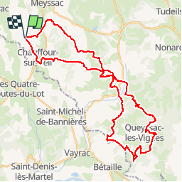

30 km | 43 km-effort

User


FREE GPS app for hiking
 SityTrail
IGN / Geographical institutes
SityTrail World
The world is yours!
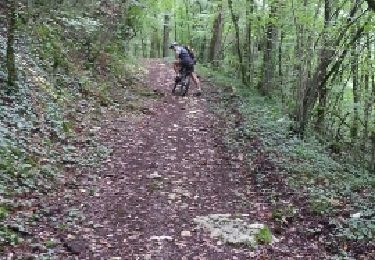
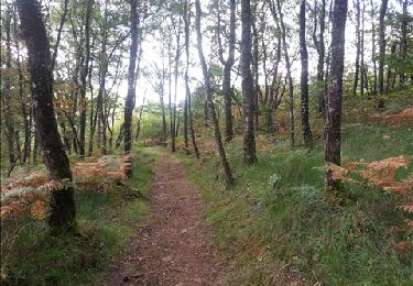
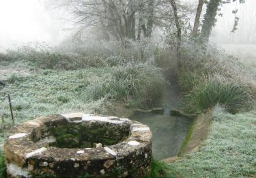
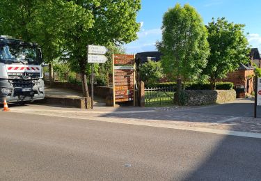
Trail Mountain bike of 46 km to be discovered at New Aquitaine, Corrèze, Chauffour-sur-Vell. This trail is proposed by fesseneric.
Chauffour,Curemonte, Puymège, Queyssac
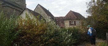
 - Photo 1")
Mountain bike
Mountain bike
Walking
Mountain bike

Mountain bike
Mountain bike
Mountain bike
Walking
Mountain bike