


3.5 km | 4.4 km-effort


User


FREE GPS app for hiking
 SityTrail
IGN / Geographical institutes
SityTrail World
The world is yours!
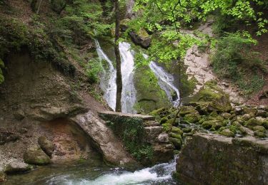
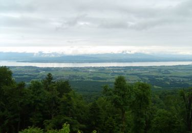
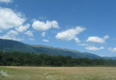
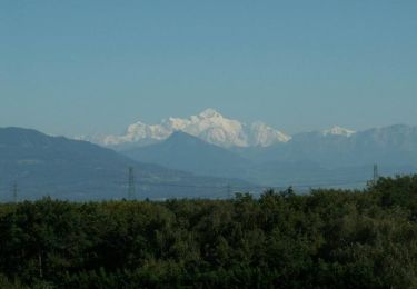
Trail Walking of 5.1 km to be discovered at Auvergne-Rhône-Alpes, Ain, Cessy. This trail is proposed by coosewilli.
A Cessy boucle de 5Km facile à partir de l'Espace Vidolet en direction du Point 5 du CERN-CMS
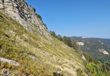
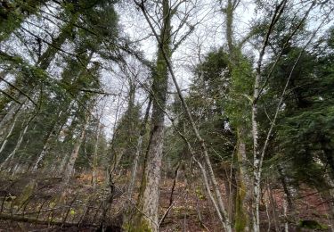
Walking

Walking
Cycle
Cycle
Cycle
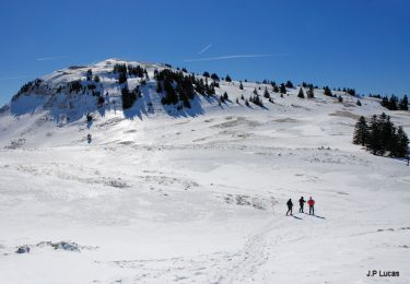
Snowshoes
Walking

sport
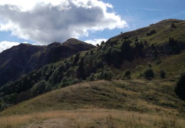
Walking