


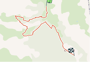


17.8 km | 33 km-effort

User


FREE GPS app for hiking
 SityTrail
IGN / Geographical institutes
SityTrail World
The world is yours!
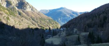
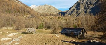
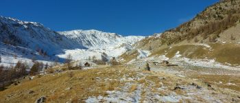
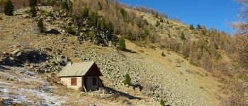
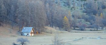
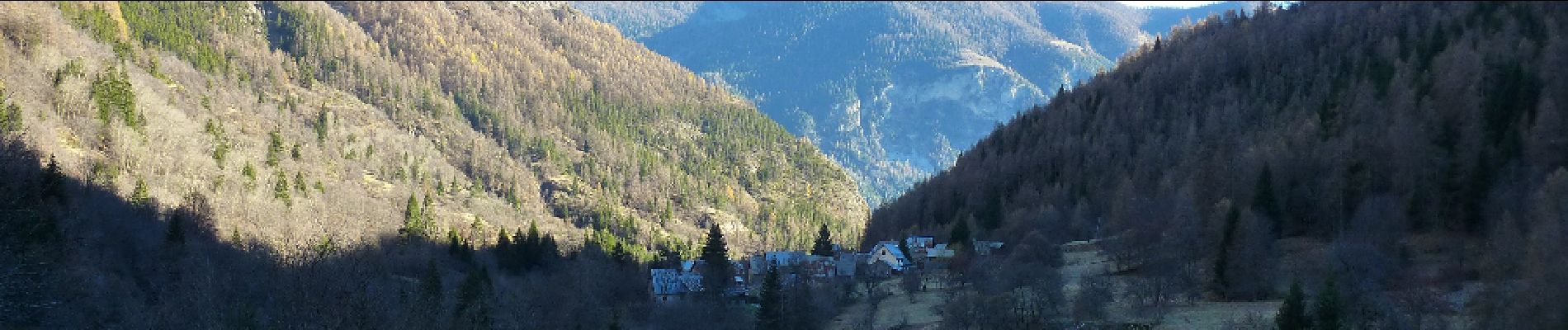
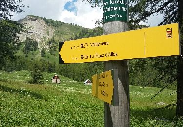
Trail Walking of 9.1 km to be discovered at Provence-Alpes-Côte d'Azur, Alpes-de-Haute-Provence, Villars-Colmars. This trail is proposed by potenciano.
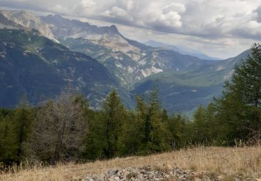
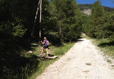
Jolie randonnée à faire par beau temps. Prudence quelques passages glissants si neige ou verglas


Walking
Walking

Walking
Snowshoes
4x4
4x4
Walking
Walking
Walking