


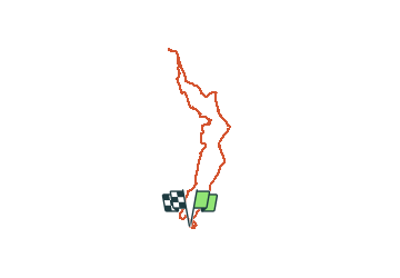


7 km | 7.5 km-effort

User


FREE GPS app for hiking
 SityTrail
IGN / Geographical institutes
SityTrail World
The world is yours!
Trail Walking of 13.8 km to be discovered at Occitania, Pyrénées-Orientales, Perpignan. This trail is proposed by jeff66.
66 PERPIGNAN, ch.de la Fauceille et de la Passio viella, UPVD, rond point du Garigliano, av. J.de Carsalade du Pont, Bld Aristide Briand, rue Léon Bourgeois, rue des carmes, rue de l'université, rue du ruisseau, place de la révolution française, rue du bastion st Dominique, Rue Delcros, cours Palmarole, La passerelle, pont Joffre, rue de l'ancien champ de Mars, rues A. de Chénier, J.Aicard, Ch. du sacré cœur, rue Beausoleil, Rue J.M. De Heredia,rue H.Després, av. Dr. Desnoyes, rue A. Talut, rue des pêcheurs, Passerelle piétonnière sur la Tet, théâtre de l'archipel, Rue G.Flaubert, rue rempart Villeneuve,rue J.Sauvy, rue L. Pasteur, place Arago, rue de l'ange, rue mailly, rue poissonnière, rue grand la réal, place de l'ancienne prison, Rue des remparts la Réal, rue des archers, palais des rois de Majorque, av. G. Brutus, des Baléares et H.Poincare, rue J.Pams, rue P.Arene, allée du souvenir, canal de Perpignan,


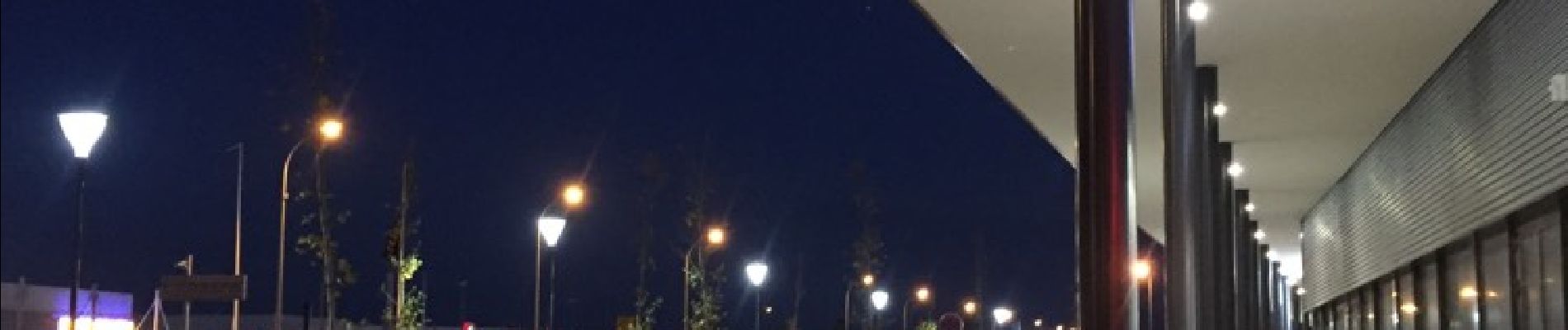
40 photos in total. Please click on a photo to see them all in the gallery.

Walking

Walking

Walking
Walking

Mountain bike

Walking

Walking

Walking

Walking