


18 km | 26 km-effort

User


FREE GPS app for hiking
 SityTrail
IGN / Geographical institutes
SityTrail World
The world is yours!
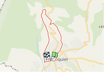
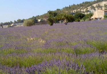
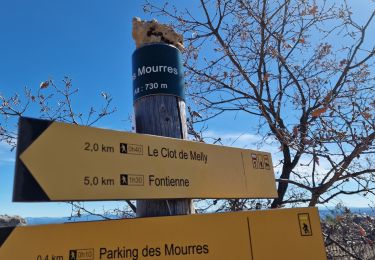
Trail Walking of 6.4 km to be discovered at Provence-Alpes-Côte d'Azur, Alpes-de-Haute-Provence, Forcalquier. This trail is proposed by lviallet.
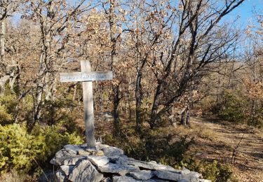
Départ: Forcalquier.
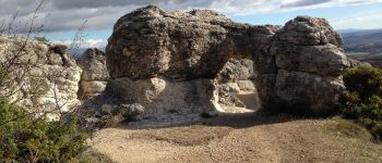
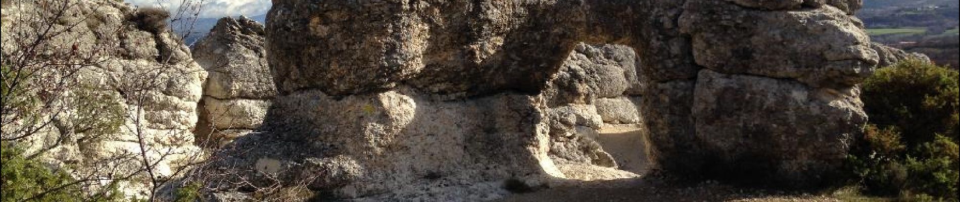
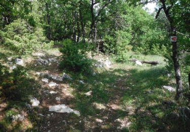
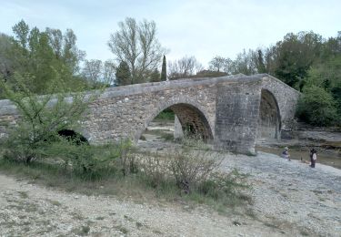
Paysage ruiniforme. Erosions marno-calcaires du miocène à sculter sur le mode des cheminées de fées un paysage de rochers en forme de têtes, de champignons, d'arches ou de ponts.

Walking
Cycle

Walking
Mountain bike

Walking
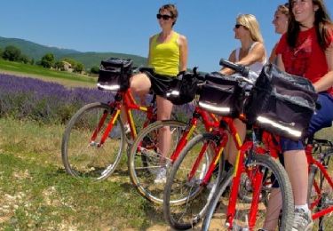
Cycle
Walking
Walking
Walking
très joli site les rochers des Mourres