


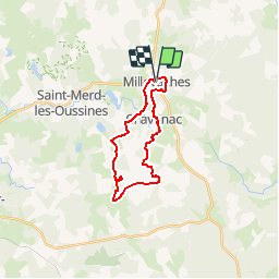


16.1 km | 21 km-effort


User


FREE GPS app for hiking
 SityTrail
IGN / Geographical institutes
SityTrail World
The world is yours!
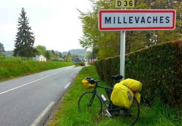
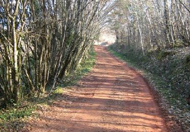
Trail Walking of 19.8 km to be discovered at New Aquitaine, Corrèze, Millevaches. This trail is proposed by cron.
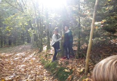
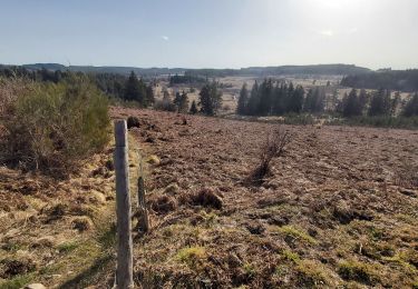
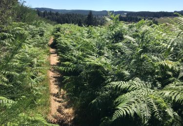
Le circuit proposé inclut le sentier de découverte des tourbières (1 km). Bel endroit de pique-nique au lieu-dit "Les Cent pierres".
Maison du parc à Millevaches.
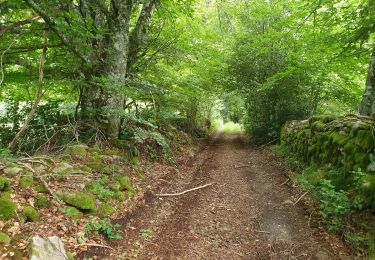
Attention au lieu-dit La Brugère à ne pas prendre trop à gauche ce qui ferait reprendre le tracé emprunté à l'aller.
Walking
Walking

Walking

sport
Walking
On foot
Walking
Walking
Mountain bike