


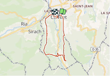


13.5 km | 17.2 km-effort

User


FREE GPS app for hiking
 SityTrail
IGN / Geographical institutes
SityTrail World
The world is yours!
Trail Walking of 7.8 km to be discovered at Occitania, Pyrénées-Orientales, Codalet. This trail is proposed by jeff66.
66 CODALET centre ville mairie, rue du Conflent, chemin de Nogarol, mas la pastorale, mas Ribes, mas des Forques, canal d'irrigation, mas Raffa, siphon, ermitage de St Pierre, abbaye St Michel de Cuxa, passerelle sur la LLitéra, la clote, le Canal de Bohère, chapelle St Jean, St Augustin, traverser la voie ferrée suivre la RD27a, passer sous le pont du chemin de fer, rentrer dans CODALET par la rue du Conflent, places du fort, de la république, rue du Canigo


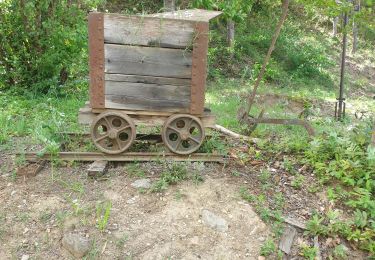
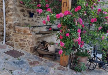
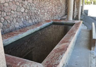
27 photos in total. Please click on a photo to see them all in the gallery.

Walking

Motor

Mountain bike

Walking
Walking
Walking
Walking
Walking
Walking