


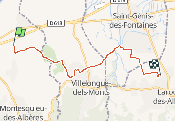

11.2 km | 15.3 km-effort


User


FREE GPS app for hiking
 SityTrail
IGN / Geographical institutes
SityTrail World
The world is yours!
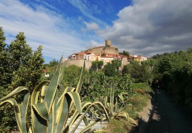
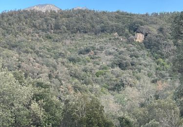
Trail Walking of 6.6 km to be discovered at Occitania, Pyrénées-Orientales, Montesquieu-des-Albères. This trail is proposed by jeff66.
66 VILLELONGUE-DELS-MONTS, Les Agouillous à LAROQUE-DES-ALBERES

Walking

Walking

Walking

Walking

Walking
Walking
Walking
Walking
Walking