


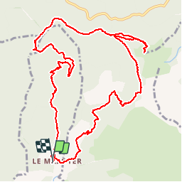

14.1 km | 24 km-effort


User


FREE GPS app for hiking
 SityTrail
IGN / Geographical institutes
SityTrail World
The world is yours!
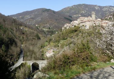
Trail Walking of 14 km to be discovered at Auvergne-Rhône-Alpes, Ardèche, Vallées-d'Antraigues-Asperjoc. This trail is proposed by JDEL84.
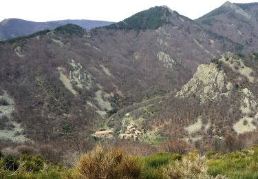
Mazoyer- Altitude 759 m
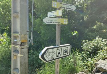
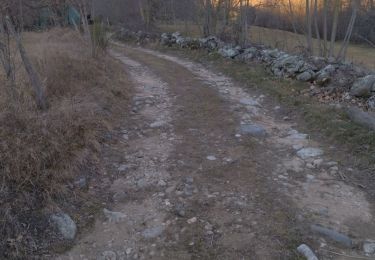
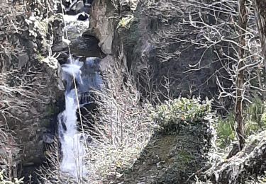
Montée raide du ruisseau de Chabrol, avec passage de 4 gués, jusqu'aux ruines de Fidou.
Montée jusqu'au Champ de Champ de Mars - Altitude 1343m
(Table d'orientation)
Descente au milieu d'une foret de Hetres, jusqu'au ruisseau des Lavanches qye ns longeons Jusqu'à Mazoyer
2016-05-25


Walking

Walking
Walking
Walking
Walking
Walking
Walking
Walking
Walking