


sentiers des roches Ok

LaurentGILG
User
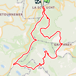

Length
24 km

Max alt
1355 m

Uphill gradient
928 m
Km-Effort
36 km

Min alt
803 m

Downhill gradient
916 m
Boucle
Yes
Creation date :
2019-01-20 20:50:35.866
Updated on :
2019-01-20 20:50:36.008
6h55
Difficulty : Very difficult

FREE GPS app for hiking
 SityTrail
IGN / Geographical institutes
SityTrail Plus
The world is yours!
About
Trail Walking of 24 km to be discovered at Grand Est, Haut-Rhin, Stosswihr. This trail is proposed by LaurentGILG.
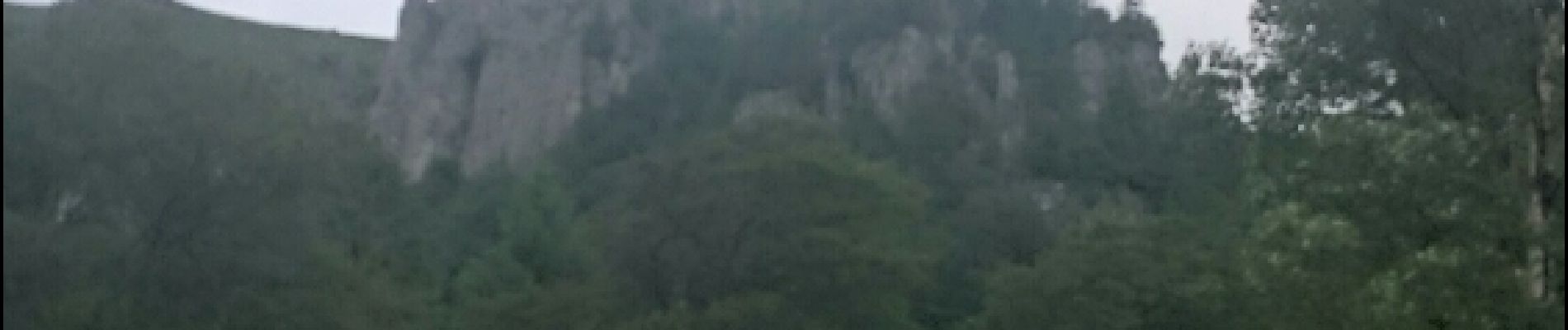
Photos


23 photos in total. Please click on a photo to see them all in the gallery.
Positioning
Country:
France
Region :
Grand Est
Department/Province :
Haut-Rhin
Municipality :
Stosswihr
Location:
Unknown
Start:(Dec)
Start:(UTM)
352747 ; 5325274 (32U) N.
Comments