


14.2 km | 21 km-effort


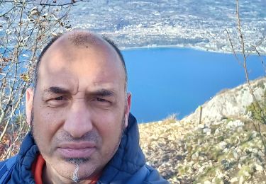
User


FREE GPS app for hiking
 SityTrail
IGN / Geographical institutes
SityTrail World
The world is yours!
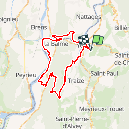
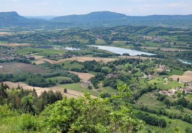
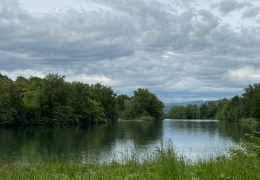
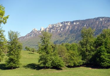
Trail Mountain bike of 33 km to be discovered at Auvergne-Rhône-Alpes, Savoy, Yenne. This trail is proposed by jeannot01.
Attention, descente du "Chamard" sur la fin du parcourt trialisante et très technique.
La descente depuis "la basse" jusqu'à "les Reys" n'est pas très intéressante: (gros chemin pentu)Il vaut lieux continuer sur le GR
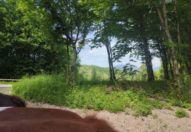
Horseback riding
Walking
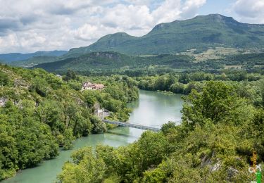
Walking
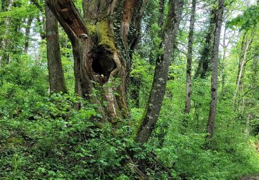
Walking
Walking

Walking
Walking
Walking