


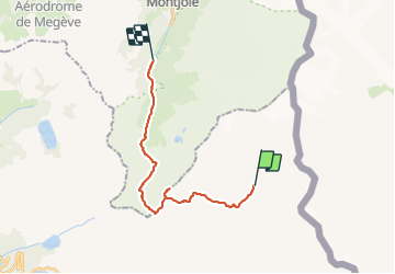

17.9 km | 27 km-effort

User


FREE GPS app for hiking
 SityTrail
IGN / Geographical institutes
SityTrail World
The world is yours!
Trail Walking of 18.6 km to be discovered at Auvergne-Rhône-Alpes, Savoy, Bourg-Saint-Maurice. This trail is proposed by GerardBouche.
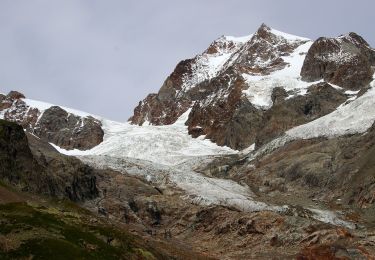
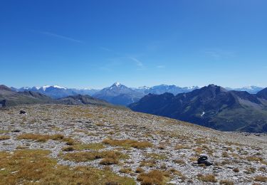
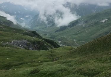
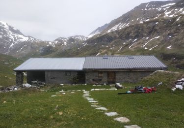
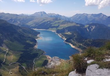
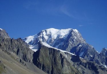
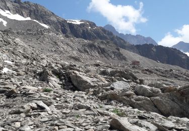
Montée dans les alpages entre torrents et cascades jusqu'au col des Fours(2.714 m) point culminant de la randonnée.Descente par le col du Bonhomme (2.300 m)et la voie romaine en fond de vallée.


On foot
On foot
Walking
Walking
Touring skiing
Walking
Walking
Walking
Walking