Terrasson-Boucle de la Vézère

houbart
User
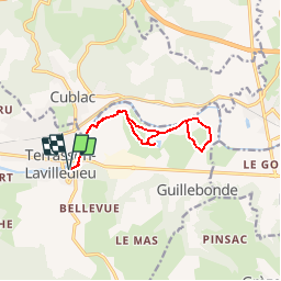

Length
11.4 km

Max alt
98 m

Uphill gradient
112 m
Km-Effort
12.9 km

Min alt
81 m

Downhill gradient
113 m
Boucle
Yes
Creation date :
2019-03-28 15:47:21.396
Updated on :
2019-03-28 15:47:21.566
2h48
Difficulty : Easy

FREE GPS app for hiking
 SityTrail
IGN / Geographical institutes
SityTrail Plus
The world is yours!
About
Trail Walking of 11.4 km to be discovered at New Aquitaine, Dordogne, Terrasson-Lavilledieu. This trail is proposed by houbart.
Description
Départ du Pont vieux, avenue Charles de Gaulle.
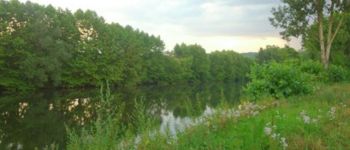
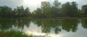
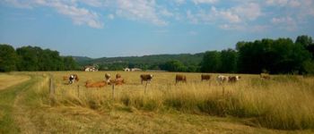
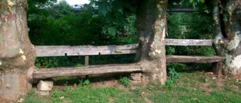
Photos


Positioning
Country:
France
Region :
New Aquitaine
Department/Province :
Dordogne
Municipality :
Terrasson-Lavilledieu
Location:
Unknown
Start:(Dec)
Start:(UTM)
366715 ; 4998564 (31T) N.
Comments