


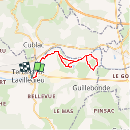


12.4 km | 16.1 km-effort

User


FREE GPS app for hiking
 SityTrail
IGN / Geographical institutes
SityTrail World
The world is yours!
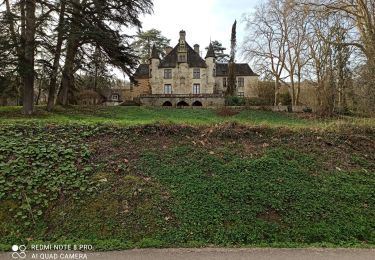
Trail Walking of 11.4 km to be discovered at New Aquitaine, Dordogne, Terrasson-Lavilledieu. This trail is proposed by houbart.
Départ du Pont vieux, avenue Charles de Gaulle.


Walking
Walking

Walking

Walking

Walking
Walking
Walking
Walking
Hybrid bike