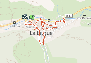
13.9 km | 27 km-effort
La Brigue - 2016 06 24
Orcal37
User
Length
2.8 km
Max alt
790 m
Uphill gradient
40 m
Km-Effort
3.3 km
Min alt
760 m
Downhill gradient
37 m
Boucle
Yes
Creation date :
2016-07-14 00:00:00.0
Updated on :
2021-09-16 17:46:07.903
1h10
Difficulty : Very easy
FREE GPS app for hiking
About
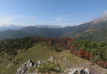
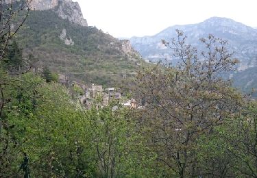
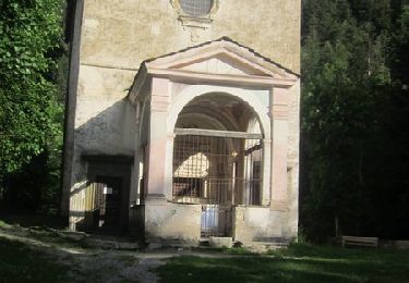
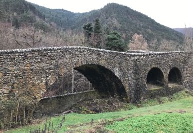
Trail Walking of 2.8 km to be discovered at Provence-Alpes-Côte d'Azur, Maritime Alps, La Brigue. This trail is proposed by Orcal37.
Description
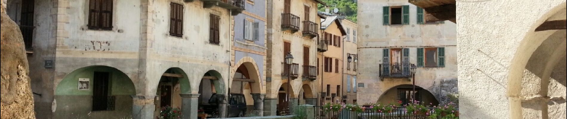
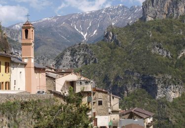
La Brigue - 2016 06 24 - village
Positioning
Country:
France
Region :
Provence-Alpes-Côte d'Azur
Department/Province :
Maritime Alps
Municipality :
La Brigue
Location:
Unknown
Start:(Dec)
Start:(UTM)
388977 ; 4879815 (32T) N.
Comments
Trails nearby
Cime de Marta
On foot
Medium
La Brigue,
Provence-Alpes-Côte d'Azur,
Maritime Alps,
France
6h 4min
Yes
Tour de Gauron
On foot
Medium
Fontan,
Provence-Alpes-Côte d'Azur,
Maritime Alps,
France
11.1 km | 23 km-effort
5h 13min
Yes
castel tournou
Walking
Medium
Tende,
Provence-Alpes-Côte d'Azur,
Maritime Alps,
France
7 km | 13.5 km-effort
4h 20min
Yes
Berghe - Cime Corvo
Walking
Easy
Fontan,
Provence-Alpes-Côte d'Azur,
Maritime Alps,
France
10.7 km | 19.3 km-effort
3h 45min
Yes
Bergue Inférieur - Tour de Corvo - 2016 06 30
Walking
Medium
Fontan,
Provence-Alpes-Côte d'Azur,
Maritime Alps,
France
10.1 km | 18.4 km-effort
3h 40min
Yes
Berghe, Granit, Pas de la Tranché, col de Tâte, Granges d'Amatte
Walking
Medium
Fontan,
Provence-Alpes-Côte d'Azur,
Maritime Alps,
France
17.6 km | 31 km-effort
6h 45min
Yes
Mont Saccarel et Cime de Marta du Sanctuaire de Notre Dame des Fontaines
Walking
Difficult
La Brigue,
Provence-Alpes-Côte d'Azur,
Maritime Alps,
France
26 km | 52 km-effort
7h 15min
Yes
Espace VTT FFC Haute Roya - N° 6 - Marguarels
Mountain bike
Very difficult
Tende,
Provence-Alpes-Côte d'Azur,
Maritime Alps,
France
79 km | 117 km-effort
8h 0min
No
Pond du Coq
Walking
Easy
La Brigue,
Provence-Alpes-Côte d'Azur,
Maritime Alps,
France
2.5 km | 2.8 km-effort
59min
No