


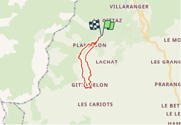


17.4 km | 28 km-effort

User GUIDE


FREE GPS app for hiking
 SityTrail
IGN / Geographical institutes
SityTrail World
The world is yours!
Trail Walking of 8.2 km to be discovered at Auvergne-Rhône-Alpes, Savoy, Les Belleville. This trail is proposed by HERRY.
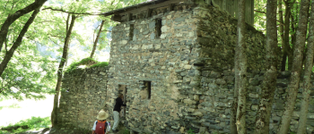
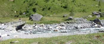
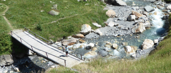
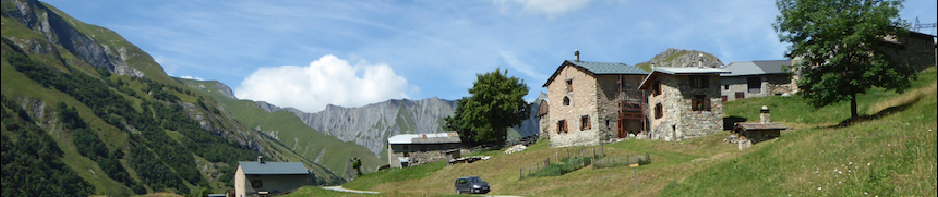
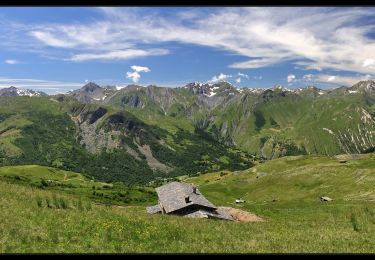
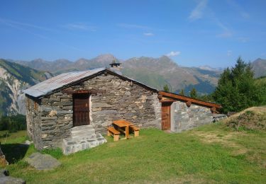
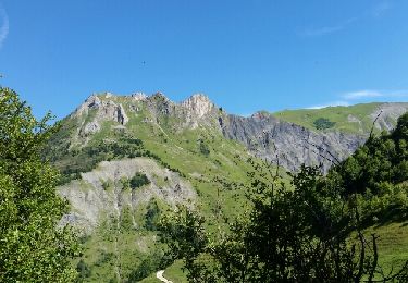
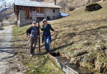
Randonnée familiale ( enfants à partir de 7ans) très agréable le long du torrent des encombres. L'intérêt concerne le passage de plusieurs hameaux ( celui de planlebon en ruines), mais aussi le surplomb du torrent sur la partie retour. De St martin prendre la direction Chatelard et aller au parking des encombres. Le balisage est tip-top.Suivre le chemin jusqu'au hameau en ruines de planlebon (point1) où les enfants pourront sonner la cloche de la chapelle réhabilitée.Suivre ensuite le chemin tracé jusqu'à la passerelle ( point 2). Pour les moins courageux il est possible de passer aux priots pour retourner au parking. C'est dommage car le plus joli est à venir. Continuer vers la 2ème passerelle ( point 3) qui nous amène au hameau de Gittamelon . Suivre la route carrossable qui domine le torrent.Redescendre ensuite aux priots pour rejoindre le parking.


Walking
Walking
Walking

Walking
Walking
Walking

Walking

Walking

Snowshoes