


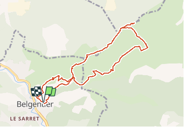


12.6 km | 16.7 km-effort


User GUIDE


FREE GPS app for hiking
 SityTrail
IGN / Geographical institutes
SityTrail World
The world is yours!
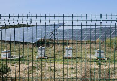
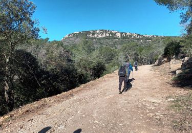
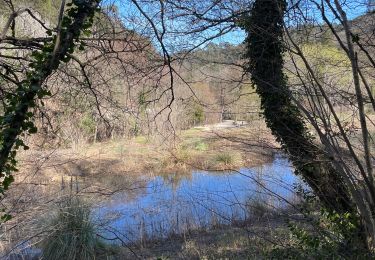
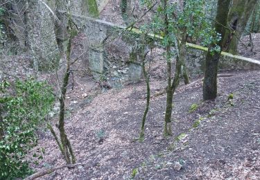
Trail Walking of 10.7 km to be discovered at Provence-Alpes-Côte d'Azur, Var, Belgentier. This trail is proposed by affinetataille.
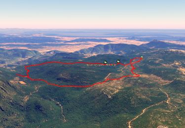
Belle rando sans grandes difficultés avec des points de vues magnifiques ...


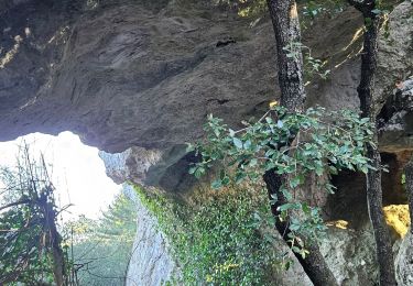
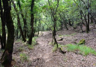
29 photos in total. Please click on a photo to see them all in the gallery.
Walking
Walking
Walking

Walking

Walking
Walking
Walking

sport
Walking
Vraiment de très belles photos ! Bravo !