Trail Walking Château-Ville-Vieille - Ville-vieille - Ceillac - Photo
 romanceline
romanceline

User GUIDE

© OpenStreetMap contributors
Length
Length
17.4 km
Max alt
Max alt
2316 m
Uphill gradient
Uphill gradient
1070 m
Km-Effort
Km-Effort  
31 km
Min alt
Min alt
1385 m
Downhill gradient
Downhill gradient
805 m
Boucle
Boucle
No
Creation date :
2016-09-11 00:00:00.0
Updated on :
2016-09-11 00:00:00.0

(0 Reviews)

Walking
Walking
6h51
Difficulty : Medium

Scan this QR Code to open this trail in the SityTrail application

FREE GPS app for hiking

Logo SityTrail SityTrail

IGN / Geographical institutes

Download SityTrail from the App Store Download SityTrail from Google Play

Logo SityTrail SityTrail World

The world is yours!

Download SityTrail from the App Store Download SityTrail from Google Play Download SityTrail on Huawei AppGallery

About

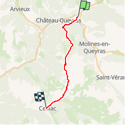
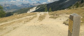
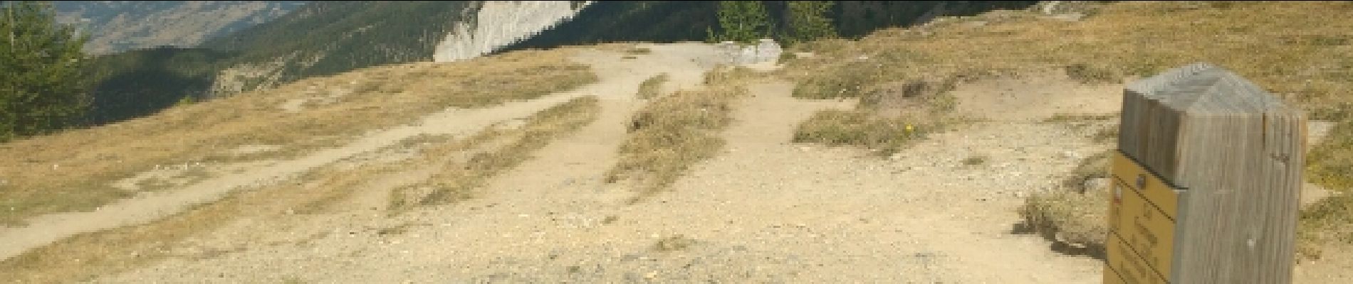
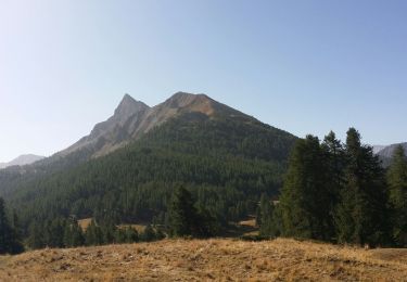
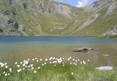
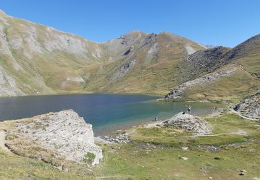
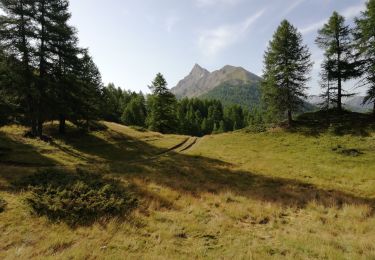
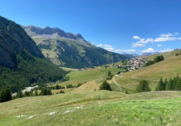
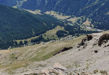
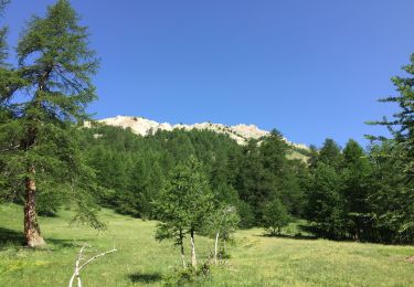
Trail Walking of 17.4 km to be discovered at Provence-Alpes-Côte d'Azur, Hautes-Alpes, Château-Ville-Vieille. This trail is proposed by romanceline.

Description

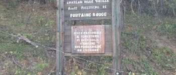
en passant par sommet buchet et col fromage

Elevation profile

Photos

Points of interest

Point of interest Château-Ville-Vieille - Fontaine rouge - Photo
romanceline
CHÂTEAU-VILLE-VIEILLE 
Point of interest Molines-en-Queyras - Fontaine rouge - Photo
romanceline
MOLINES-EN-QUEYRAS 
Point of interest Molines-en-Queyras - Fontaine - Photo
romanceline
MOLINES-EN-QUEYRAS 
Point of interest Ceillac - Col Fromage - Photo
romanceline
CEILLAC 

Positioning

Country:
France
Region :
Provence-Alpes-Côte d'Azur
Department/Province :
Hautes-Alpes
Municipality :
Château-Ville-Vieille
Location:
Unknown
Start:(UTM)
327647 ; 4958688 (32T) N.

Trails nearby

Trail Walking Château-Ville-Vieille - Queyras j1 - Photo
Walking
Ninie38MD

Walking

Medium
(1)
Château-Ville-Vieille, Provence-Alpes-Côte d'Azur, Hautes-Alpes, France
19.1 km | 36 km-effort
8h 6min
No
Trail Mountain bike Château-Ville-Vieille - Tour du Queyras - Photo
Mountain bike
tracegps

Mountain bike

Very difficult
(1)
Château-Ville-Vieille, Provence-Alpes-Côte d'Azur, Hautes-Alpes, France
32 km | 50 km-effort
3h 0min
Yes
Trail Walking Aiguilles - les lacs du Malrifs - Photo
Walking
GUIDE
amiral13

Walking

Very easy
Aiguilles, Provence-Alpes-Côte d'Azur, Hautes-Alpes, France
11 km | 21 km-effort
4h 44min
Yes
Trail Walking Aiguilles - lacs malrif à partir du lombard - Photo
Walking
francoisBerg

Walking

Medium
Aiguilles, Provence-Alpes-Côte d'Azur, Hautes-Alpes, France
9.8 km | 19.4 km-effort
3h 45min
Yes
Trail Walking Château-Ville-Vieille - 05-pointe-du-Rasis-13km-760m-aout21 - Photo
Walking
SyMA

Walking

Difficult
Château-Ville-Vieille, Provence-Alpes-Côte d'Azur, Hautes-Alpes, France
13.2 km | 23 km-effort
5h 32min
Yes
Trail Electric bike Molines-en-Queyras - Le Coin Pic Château Renard Refugd et lac de la Blanche et tête - Photo
Electric bike
jl77130

Electric bike

Difficult
Molines-en-Queyras, Provence-Alpes-Côte d'Azur, Hautes-Alpes, France
43 km | 64 km-effort
6h 12min
Yes
Trail Walking Molines-en-Queyras - Pierre-Grosse - Guardiole de l'Alp - Com du clos du Loup - Photo
Walking
dridri002

Walking

Difficult
Molines-en-Queyras, Provence-Alpes-Côte d'Azur, Hautes-Alpes, France
11.9 km | 24 km-effort
3h 25min
Yes
Trail Walking Molines-en-Queyras - la rua  molines en queras - Photo
Walking
Nicolesophie08

Walking

Medium
Molines-en-Queyras, Provence-Alpes-Côte d'Azur, Hautes-Alpes, France
13.1 km | 23 km-effort
6h 49min
No
Trail Walking Château-Ville-Vieille - Rando au lac de soulier - Photo
Walking
choubaka77

Walking

Very difficult
Château-Ville-Vieille, Provence-Alpes-Côte d'Azur, Hautes-Alpes, France
10.2 km | 19.5 km-effort
3h 36min
Yes


Close
My subscriptions