


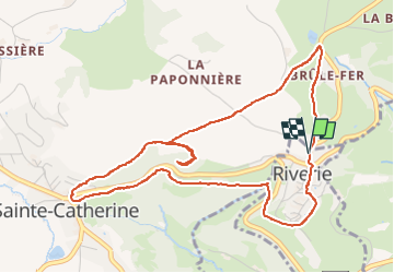

7.3 km | 9.5 km-effort

User


FREE GPS app for hiking
 SityTrail
IGN / Geographical institutes
SityTrail World
The world is yours!
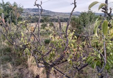
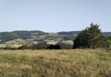
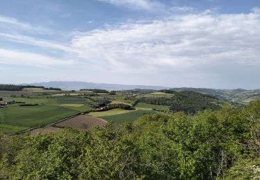
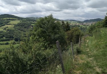
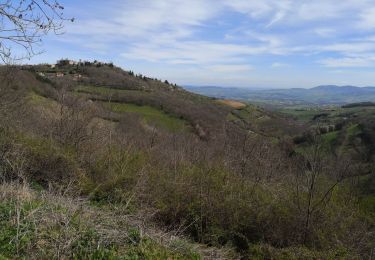
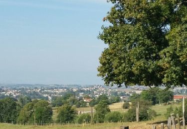
Trail Walking of 5.7 km to be discovered at Auvergne-Rhône-Alpes, Rhône, Riverie. This trail is proposed by Sigmut.
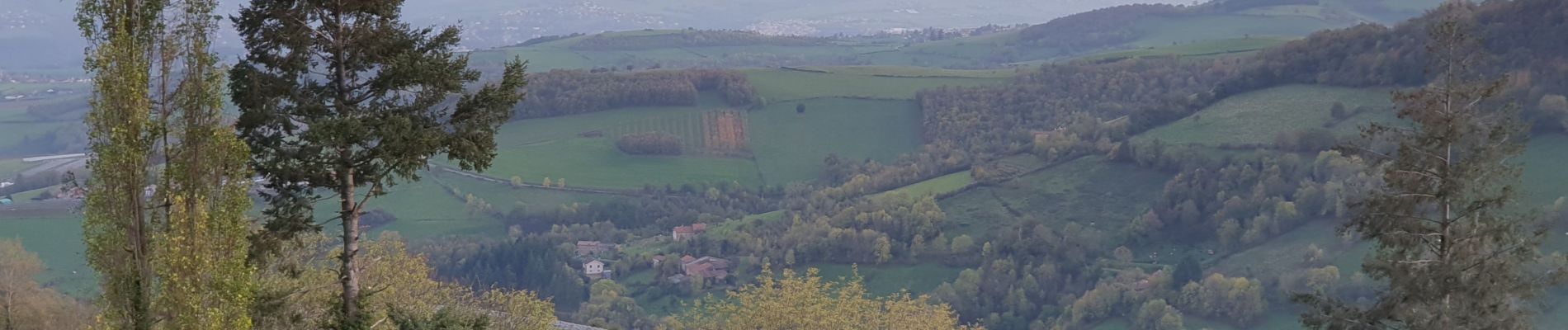
A faire par des temps aussi magnifique.
Vue sur le Mt Blanc, ...
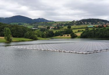
Randonnée très facile avec des enfants en bas âge.


Walking
Walking
Walking
Walking
Walking
Walking
Walking
Walking
Nordic walking