Trail Walking Riverie - De Riverie à Sainte Catherine - Photo

De Riverie à Sainte Catherine

 Sigmut
Sigmut

User

© OpenStreetMap contributors
Length
Length
6.3 km
Max alt
Max alt
720 m
Uphill gradient
Uphill gradient
219 m
Km-Effort
Km-Effort  
9.2 km
Min alt
Min alt
551 m
Downhill gradient
Downhill gradient
220 m
Boucle
Boucle
Yes
Creation date :
2019-04-17 09:25:01.792
Updated on :
2020-12-10 23:11:40.469

(0 Reviews)

Walking
Walking
4h05
Difficulty : Easy

Scan this QR Code to open this trail in the SityTrail application

FREE GPS app for hiking

Logo SityTrail SityTrail

IGN / Geographical institutes

Download SityTrail from the App Store Download SityTrail from Google Play

Logo SityTrail SityTrail World

The world is yours!

Download SityTrail from the App Store Download SityTrail from Google Play Download SityTrail on Huawei AppGallery

About

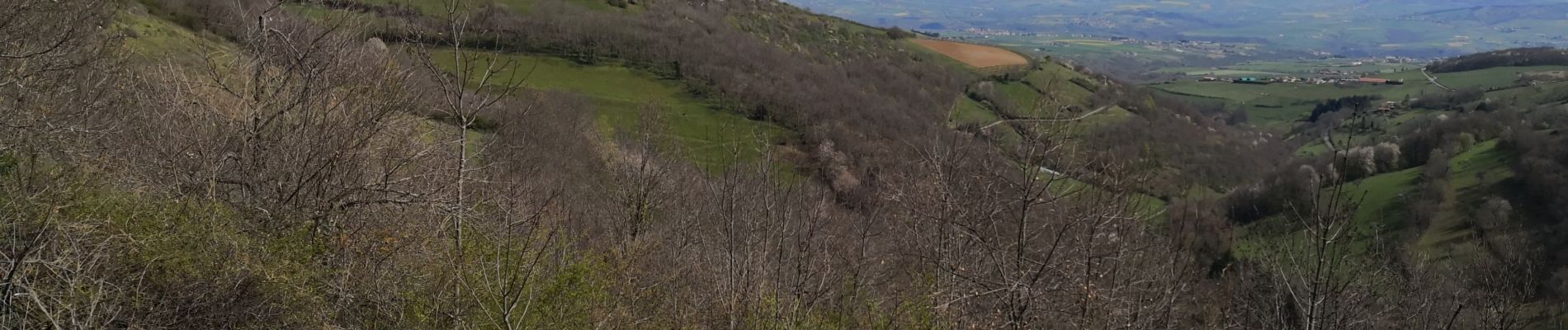
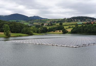
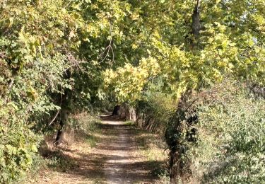
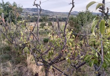
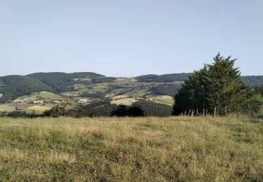
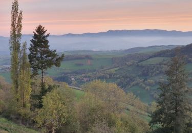
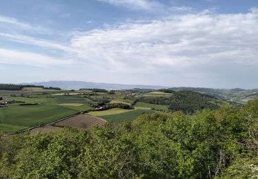
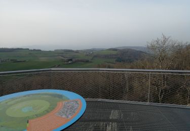
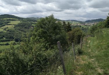
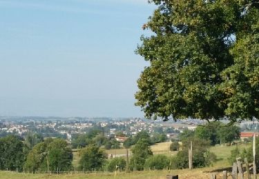
Trail Walking of 6.3 km to be discovered at Auvergne-Rhône-Alpes, Rhône, Riverie. This trail is proposed by Sigmut.

Description

Rando facile pour des enfants de 4 ans.

Elevation profile

Photos

22 photos in total. Please click on a photo to see them all in the gallery.

Positioning

Country:
France
Region :
Auvergne-Rhône-Alpes
Department/Province :
Rhône
Municipality :
Riverie
Location:
Unknown
Start:(UTM)
623925 ; 5051044 (31T) N.

Trails nearby

Trail Walking Mornant - Mornant-Lac de la Madone à St Sorlin - Photo
Walking
Sigmut

Walking

Medium
(1)
Mornant, Auvergne-Rhône-Alpes, Rhône, France
7.3 km | 9.5 km-effort
1h 28min
Yes
Trail Walking Chabanière - 69-st-maurice-dargoire2-19km-580m - Photo
Walking
SyMA

Walking

Difficult
Chabanière, Auvergne-Rhône-Alpes, Rhône, France
19.2 km | 27 km-effort
5h 47min
Yes
Trail Walking Chabanière - 69_st_maurice_dargeoire_12km_300m - Photo
Walking
SyMA

Walking

Medium
Chabanière, Auvergne-Rhône-Alpes, Rhône, France
11.6 km | 15.5 km-effort
3h 31min
Yes
Trail Walking Saint-Martin-la-Plaine - 42-martinlaplaine-12km450m - Photo
Walking
SyMA

Walking

Difficult
Saint-Martin-la-Plaine, Auvergne-Rhône-Alpes, Loire, France
12.9 km | 18.9 km-effort
4h 17min
Yes
Trail Walking Riverie - Riverie - Tour au dessus de Riverie - Photo
Walking
Sigmut

Walking

Medium
Riverie, Auvergne-Rhône-Alpes, Rhône, France
5.7 km | 7.8 km-effort
2h 4min
Yes
Trail Walking Saint-André-la-Côte - 69-st-andre-la cote-mattiole-20km-640m-mai22 - Photo
Walking
SyMA

Walking

Medium
Saint-André-la-Côte, Auvergne-Rhône-Alpes, Rhône, France
20 km | 29 km-effort
5h 56min
Yes
Trail Walking Saint-André-la-Côte - 69-St-andre-la-cote-Ste-catherine-14km-453m - Photo
Walking
SyMA

Walking

Medium
Saint-André-la-Côte, Auvergne-Rhône-Alpes, Rhône, France
14.2 km | 20 km-effort
3h 48min
Yes
Trail Walking Riverie - Tour de Riverie - Photo
Walking
Sigmut

Walking

Very easy
Riverie, Auvergne-Rhône-Alpes, Rhône, France
5.5 km | 8.2 km-effort
3h 1min
Yes
Trail Nordic walking Saint-Martin-en-Haut - Quéser à St Symphonie sur Croise - Photo
Nordic walking
pierre_mack

Nordic walking

Easy
Saint-Martin-en-Haut, Auvergne-Rhône-Alpes, Rhône, France
8.7 km | 11.3 km-effort
2h 38min
No


Close
My subscriptions