


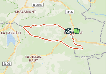

7.2 km | 9.3 km-effort

User GUIDE


FREE GPS app for hiking
 SityTrail
IGN / Geographical institutes
SityTrail World
The world is yours!
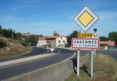
Trail Walking of 6.6 km to be discovered at Auvergne-Rhône-Alpes, Puy-de-Dôme, Saint-Genès-Champanelle. This trail is proposed by jagarnier.
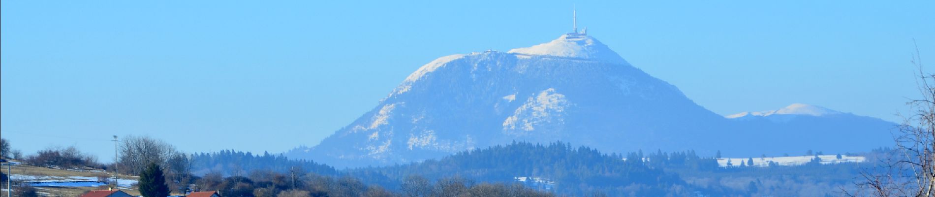
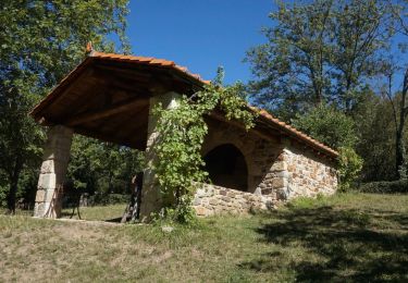
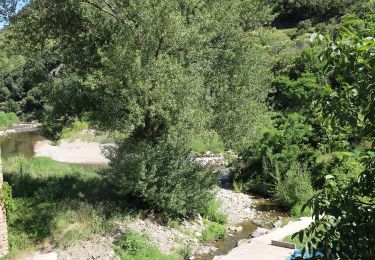
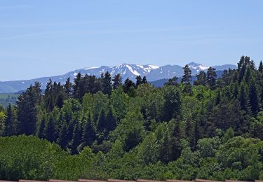
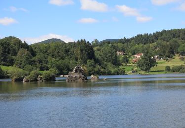
Cette randonnée sur le plateau de la Serre, exemple de relief inversé, offre de superbes vues sur les monts Dômes et les monts Dore ainsi que le lac de La Cassière. Vous pourrez voir des abris de berger en pierre sèche.
Photo sur :
https://my.pcloud.com/publink/show?code=XZnTrmkZ22gShE7XY15KbOlFq8UXVJRtLJdy

Walking

Walking

Walking
On foot
On foot
On foot
On foot
On foot
On foot