Trail Walking Wimille - Balade sur le sentier du Denacre - Photo

Balade sur le sentier du Denacre

 Desrumaux
Desrumaux

User GUIDE

© OpenStreetMap contributors
Length
Length
9.8 km
Max alt
Max alt
95 m
Uphill gradient
Uphill gradient
123 m
Km-Effort
Km-Effort  
11.4 km
Min alt
Min alt
7 m
Downhill gradient
Downhill gradient
124 m
Boucle
Boucle
Yes
Creation date :
2016-10-14 00:00:00.0
Updated on :
2016-10-14 00:00:00.0

(4 Reviews)

Walking
Walking
2h30
Difficulty : Very easy

Scan this QR Code to open this trail in the SityTrail application

FREE GPS app for hiking

Logo SityTrail SityTrail

IGN / Geographical institutes

Download SityTrail from the App Store Download SityTrail from Google Play

Logo SityTrail SityTrail World

The world is yours!

Download SityTrail from the App Store Download SityTrail from Google Play Download SityTrail on Huawei AppGallery

About

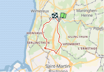
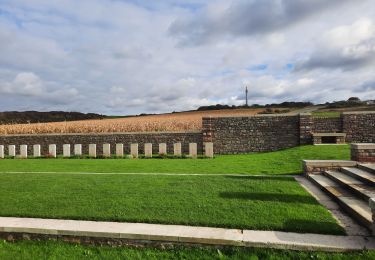
Trail Walking of 9.8 km to be discovered at Hauts-de-France, Pas-de-Calais, Wimille. This trail is proposed by Desrumaux.

Description

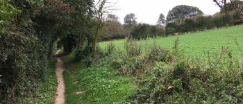
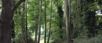
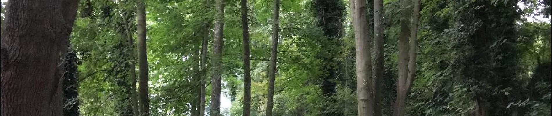
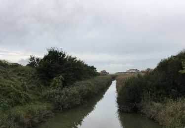
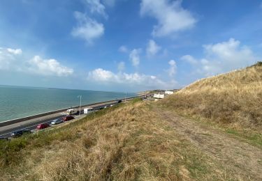
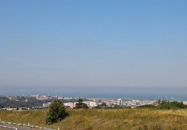
Jolie petite balade bucolique et pleine de charme dans le Boulonnais au départ de Wimille à proximité de Wimereux.
Le Denacre est une petite rivière qui se jette dans le Wimereux, elle fait également partie du parcours impérial de randonnée et vous emmènera sur le site de la Colonne de la Grande Armée.
Départ : église de Wimille

Elevation profile

Photos

Points of interest

Point of interest Wimille - La vallée du Denacre - Photo
Desrumaux
Point of interest Wimille - La vallée du Denacre - Photo
Desrumaux
Point of interest Wimille - La vallée du Denacre - Photo
Desrumaux
Point of interest Wimille - La vallée du Denacre - Photo
Desrumaux
Point of interest Wimille - La vallée du Denacre - Photo
Desrumaux

Positioning

Country:
France
Region :
Hauts-de-France
Department/Province :
Pas-de-Calais
Municipality :
Wimille
Location:
Unknown
Start:(UTM)
403728 ; 5624164 (31U) N.

Comments

Please log in to post a review or rate the element


trop de routes goudronnées ! dangereux sur certains tronçons


Beaucoup de bitumealors que la balade est jolie le long du ruisseau.


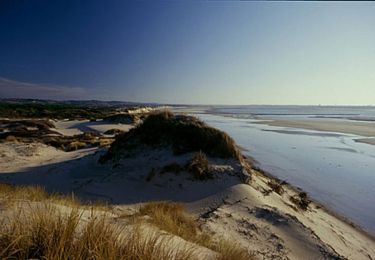
Très jolie balade effectuée le 21.04.17 par des Bourguigons en résidence à Calais. La météo n'a pas permis de voir la mer: bien dommage. Je viens de découvrir la superbe vidéo de présentation de la balade. Félicitations et grand merci. Vive SityTrail !


Trails nearby

Trail Walking Wimereux - Promenade des Dunes de la Slack - Photo
Walking
GUIDE
Desrumaux

Walking

Very easy
(9)
Wimereux, Hauts-de-France, Pas-de-Calais, France
6 km | 6.8 km-effort
1h 30min
Yes
Trail Mountain bike Wimereux - Le littoral de Wimereux à Etaples - Photo
Mountain bike
tracegps

Mountain bike

Medium
(1)
Wimereux, Hauts-de-France, Pas-de-Calais, France
35 km | 41 km-effort
3h 0min
No
Trail Walking Wimereux - Wimereux - La Crèche - Photo
Walking
tracegps

Walking

Medium
(4)
Wimereux, Hauts-de-France, Pas-de-Calais, France
9.3 km | 11.4 km-effort
2h 15min
Yes
Trail Walking Boulogne-sur-Mer - Boulogne sur mer- street art partiel  - Photo
Walking
GUIDE
blechanteur

Walking

Easy
Boulogne-sur-Mer, Hauts-de-France, Pas-de-Calais, France
4.9 km | 6 km-effort
1h 22min
No
Trail Walking Boulogne-sur-Mer - Boulogne sur mer,  les remparts de nuit  - Photo
Walking
GUIDE
blechanteur

Walking

Easy
Boulogne-sur-Mer, Hauts-de-France, Pas-de-Calais, France
2.4 km | 2.9 km-effort
51min
Yes
Trail Walking Wimereux - Boulogne-wimereux entre mer et terre  - Photo
Walking
GUIDE
blechanteur

Walking

Easy
Wimereux, Hauts-de-France, Pas-de-Calais, France
10.3 km | 12.5 km-effort
2h 42min
Yes
Trail Walking Wimereux - Wimereux Boulogne - Photo
Walking
FOUCAULT

Walking

Wimereux, Hauts-de-France, Pas-de-Calais, France
8.1 km | 10.1 km-effort
2h 35min
Yes
Trail Walking Boulogne-sur-Mer - Boulogne sur Mer - Photo
Walking
FOUCAULT

Walking

Boulogne-sur-Mer, Hauts-de-France, Pas-de-Calais, France
7 km | 8.1 km-effort
2h 8min
No
Trail Walking Saint-Martin-Boulogne - Sentier de la Colonne - Saint Martin Boulogne - Photo
Walking
tracegps

Walking

Easy
Saint-Martin-Boulogne, Hauts-de-France, Pas-de-Calais, France
8.7 km | 10.8 km-effort
2h 0min
Yes


Close
My subscriptions