Trail Walking Ollainville - 2016 bassin de Trevoix - Photo

2016 bassin de Trevoix

© OpenStreetMap contributors
Length
Length
6.8 km
Max alt
Max alt
58 m
Uphill gradient
Uphill gradient
44 m
Km-Effort
Km-Effort  
7.4 km
Min alt
Min alt
46 m
Downhill gradient
Downhill gradient
45 m
Boucle
Boucle
No
Creation date :
2018-09-15 15:04:52.374
Updated on :
2018-09-15 15:04:52.546

(0 Reviews)

Walking
Walking
1h47
Difficulty : Very easy

Scan this QR Code to open this trail in the SityTrail application

FREE GPS app for hiking

Logo SityTrail SityTrail

IGN / Geographical institutes

Download SityTrail from the App Store Download SityTrail from Google Play

Logo SityTrail SityTrail World

The world is yours!

Download SityTrail from the App Store Download SityTrail from Google Play Download SityTrail on Huawei AppGallery

About

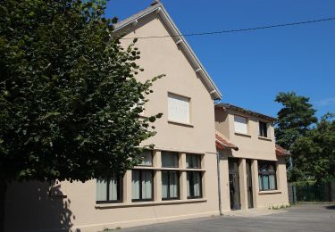
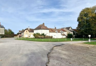
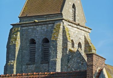
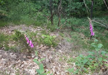
Trail Walking of 6.8 km to be discovered at Ile-de-France, Essonne, Ollainville. This trail is proposed by Lucquiaud.

Description

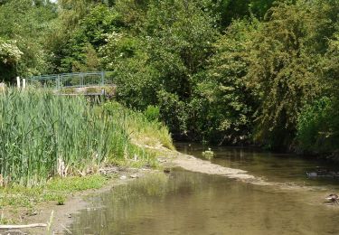
Départ station d'épuration , le long de l'Orge, tour du la de Trzvoix, retour par l Remarde

Elevation profile

Positioning

Country:
France
Region :
Ile-de-France
Department/Province :
Essonne
Municipality :
Ollainville
Location:
Unknown
Start:(UTM)
443207 ; 5381982 (31U) N.

Trails nearby

Trail On foot Saint-Yon - Sur les traces de la Renarde - Photo
On foot
PRO

On foot

Very difficult
Saint-Yon, Ile-de-France, Essonne, France
38 km | 44 km-effort
10h 4min
No
Trail Mountain bike Fontenay-lès-Briis - Soucy / Le Marais - Photo
Mountain bike
Bora431

Mountain bike

Medium
(2)
Fontenay-lès-Briis, Ile-de-France, Essonne, France
25 km | 30 km-effort
1h 52min
Yes
Trail Walking Boissy-sous-Saint-Yon - Carrière de Madagascar  - Photo
Walking
danbott

Walking

Very easy
(1)
Boissy-sous-Saint-Yon, Ile-de-France, Essonne, France
13.2 km | 16.5 km-effort
2h 59min
Yes
Trail Walking Brétigny-sur-Orge - Boucle Bretigny - Arpajon - Photo
Walking
chessyca

Walking

Difficult
Brétigny-sur-Orge, Ile-de-France, Essonne, France
30 km | 36 km-effort
6h 19min
Yes
Trail Walking Bruyères-le-Châtel - Boucle Fontenay les Briis - Photo
Walking
chessyca

Walking

Very easy
Bruyères-le-Châtel, Ile-de-France, Essonne, France
22 km | 26 km-effort
5h 4min
Yes
Trail On foot Saint-Yon - FR-1 - Photo
On foot
PRO

On foot

Easy
Saint-Yon, Ile-de-France, Essonne, France
7.7 km | 8.4 km-effort
1h 54min
No
Trail On foot La Norville - FR-7 - Photo
On foot
PRO

On foot

Easy
La Norville, Ile-de-France, Essonne, France
4.1 km | 4.7 km-effort
1h 4min
No
Trail Walking Bruyères-le-Châtel - Essonne_Fontenay-Les-Briis=>LaRocheTurpin - Photo
Walking
BMorin91470

Walking

Very easy
Bruyères-le-Châtel, Ile-de-France, Essonne, France
5.5 km | 6.8 km-effort
1h 23min
Yes
Trail Nordic walking Breuillet - Breuillet St Sulpice - Photo
Nordic walking
Zygomat

Nordic walking

Easy
(1)
Breuillet, Ile-de-France, Essonne, France
10.6 km | 13 km-effort
2h 20min
Yes


Close
My subscriptions