


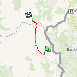

4.2 km | 5.9 km-effort

User


FREE GPS app for hiking
 SityTrail
IGN / Geographical institutes
SityTrail World
The world is yours!
Trail Walking of 8.6 km to be discovered at Provence-Alpes-Côte d'Azur, Hautes-Alpes, Névache. This trail is proposed by reneperrin.
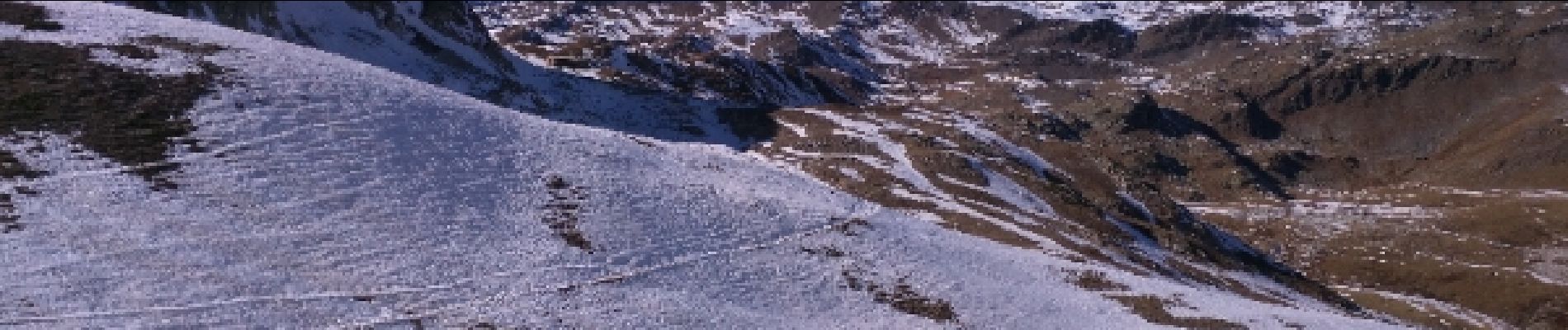
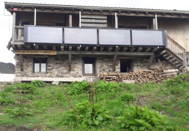
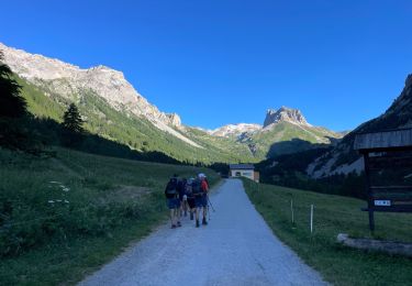
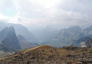
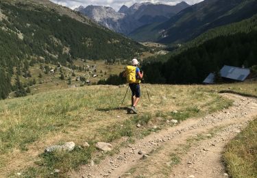
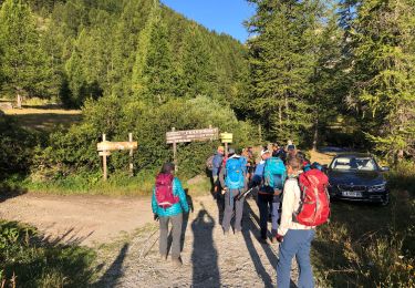
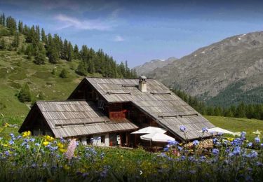
départ du parking, traversée du hameau avec de très beaux chalets, montée vers un belvédère qui domine la vallée étroite, puis montée progressive et régulière vers le col de la vallée étroite d'où on aperçoit le refuge.


Walking

Mountain bike

Walking
Walking
Walking
Walking
Walking
Walking
Walking