


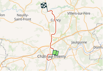

32 km | 41 km-effort


User


FREE GPS app for hiking
 SityTrail
IGN / Geographical institutes
SityTrail World
The world is yours!
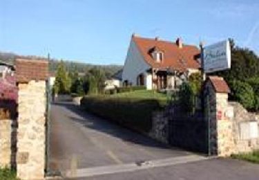
Trail Other activity of 25 km to be discovered at Hauts-de-France, Aisne, Château-Thierry. This trail is proposed by mich54.
La ligne de Château-Thierry à Oulchy - Breny est une ancienne ligne de chemin de fer aujourd'hui déclassée et déposée. Elle permettait les relations entre Château-Thierry, sous préfecture du département de l'Aisne, et La Ferté-Milon dans l'Aisne également.
Elle constituait la ligne 073 000 du réseau ferré national.
Avec la ligne de Mézy à Romilly-sur-Seine, elle formait la ligne 22-2 dans l'ancienne numérotation des lignes du réseau Est.
La ligne a été fermée au service des voyageurs le 5 mai 1938.(Source Wikipédia)

Running
Walking

Walking

Walking

Walking
Mountain bike

Walking
Walking
Walking