


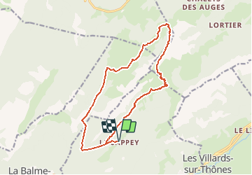

9.5 km | 21 km-effort


User


FREE GPS app for hiking
 SityTrail
IGN / Geographical institutes
SityTrail World
The world is yours!
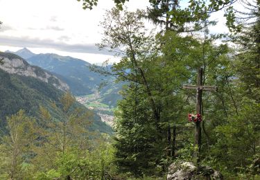
Trail Walking of 15.8 km to be discovered at Auvergne-Rhône-Alpes, Upper Savoy, Thônes. This trail is proposed by Mariolebeno.
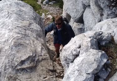
Départ un peu raide du Sapey, mais je pense que globalement ce sens est préférable.
en cas de neige gelée au dessus de 1700 M en versant N, il faudra être prudent sur la traversée avant le col de l'Ovine
L'horaire est bien évidemment indicatif ...
Walking

Walking

Snowshoes

Walking
Walking
Walking
Walking

Walking
Walking
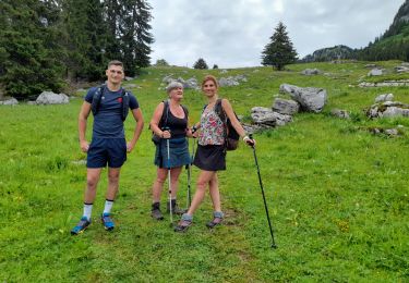
belle sortie ...faite dans l'autre sens en partant du parking des crets