


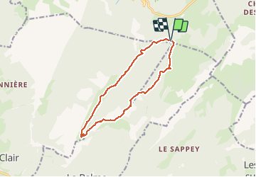

8.8 km | 14.5 km-effort

User


FREE GPS app for hiking
 SityTrail
IGN / Geographical institutes
SityTrail World
The world is yours!
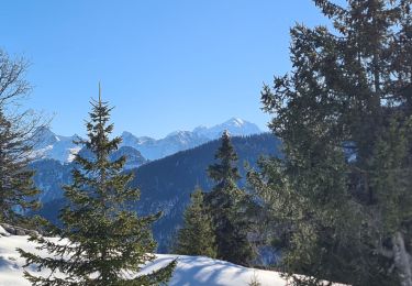
Trail Walking of 12.6 km to be discovered at Auvergne-Rhône-Alpes, Upper Savoy, Fillière. This trail is proposed by nadd73.
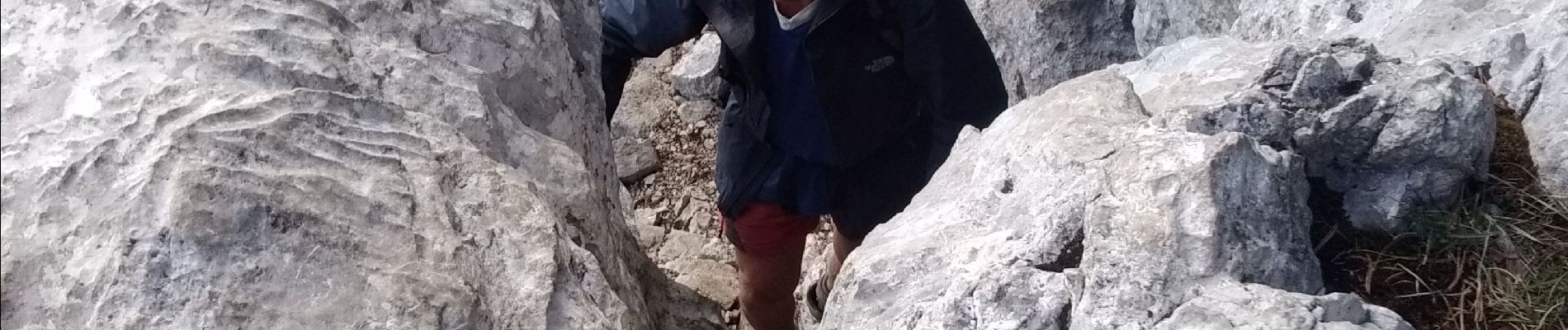
avant le passage de bourse à 1650 environ suivre l'arête quelques marques vertes, jaunes et cairns, il faut chercher son chemin mais assez évident. Sinon la montée à la tête noire se fait en mettant les mains (facile).


Walking

Walking

Walking
Walking
Walking
Walking
Walking
Walking
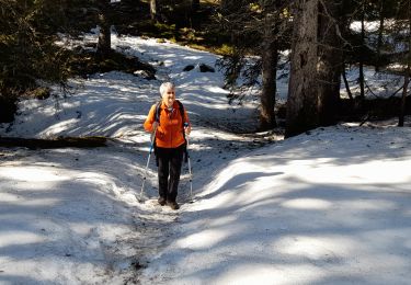
Snowshoes