


8.8 km | 14.5 km-effort

User


FREE GPS app for hiking
 SityTrail
IGN / Geographical institutes
SityTrail World
The world is yours!
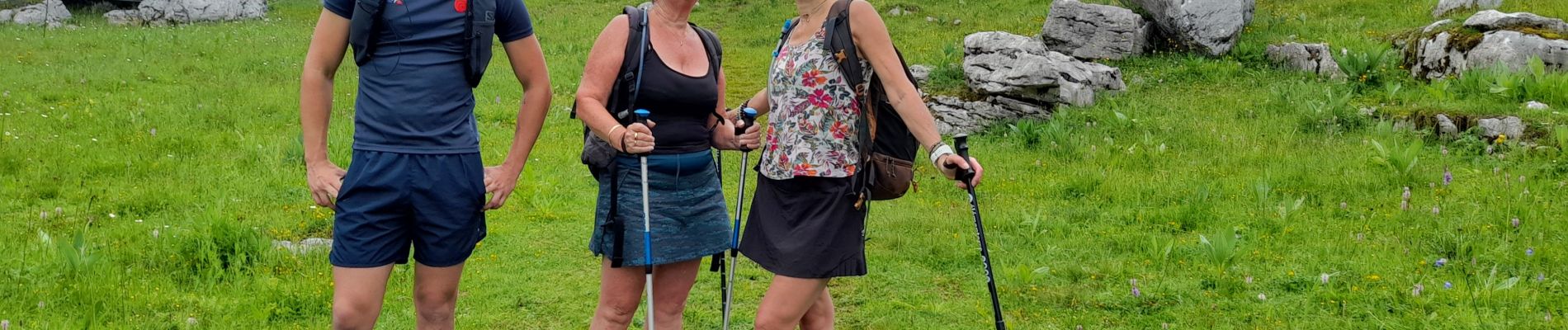
Trail Walking of 10.3 km to be discovered at Auvergne-Rhône-Alpes, Upper Savoy, Fillière. This trail is proposed by djeepee74.
BOUCLE... live 20210703.
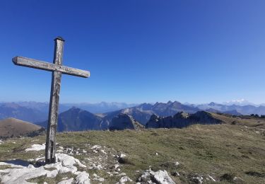
Pour la montée vers la pointe de la Québlette, de nombreuses traces de moutons peuvent se montrer trompeuses. Rester sur la sentier supérieur... cela vous évitera d'être obligé de rejoindre l'arête sommitale de droite, via des pentes raides au travers de l'alpage.
Retour par les sources captées et le sud de la maison du plateau.


Walking

Walking

Walking
Walking
Walking
Walking
Walking
Walking
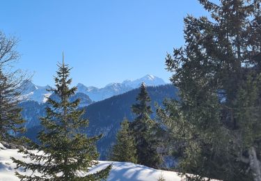
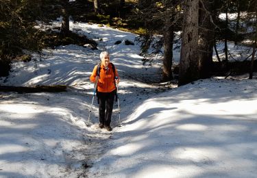
Snowshoes