


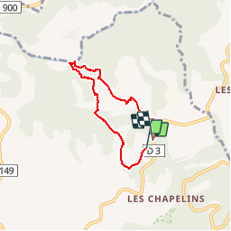

51 km | 61 km-effort

User


FREE GPS app for hiking
 SityTrail
IGN / Geographical institutes
SityTrail World
The world is yours!
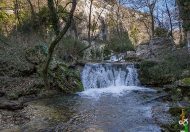
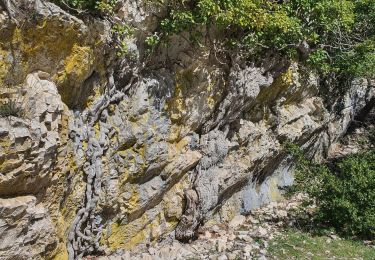
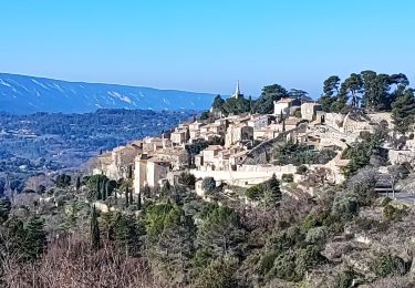
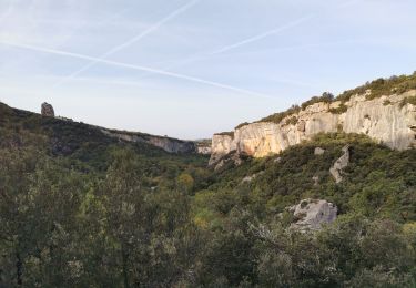
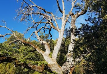
Trail Walking of 5.3 km to be discovered at Provence-Alpes-Côte d'Azur, Vaucluse, Bonnieux. This trail is proposed by POMMEN.
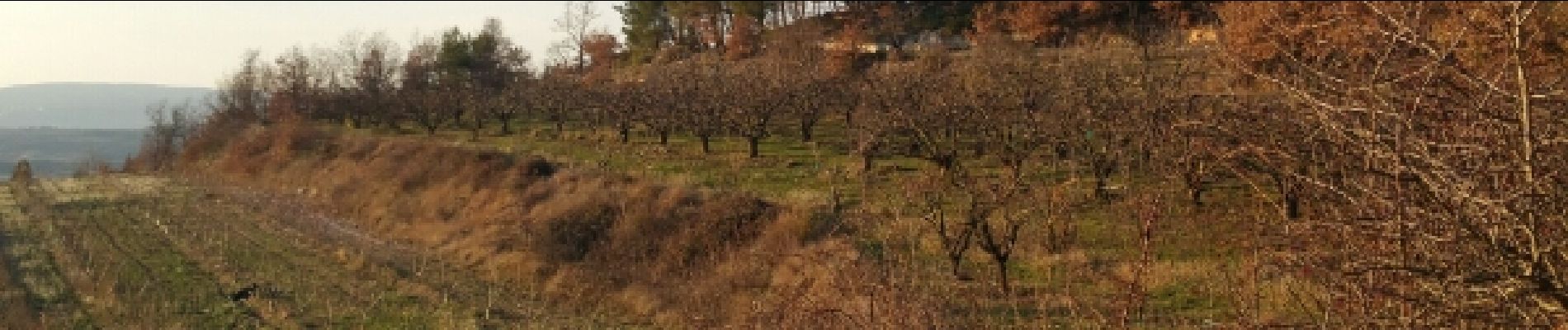
petite balade en famille entre les ravines et les vignes. beaux paysages de vallées


Cycle
Cycle
Walking
Walking

Walking

Running
Walking
Walking
Walking