


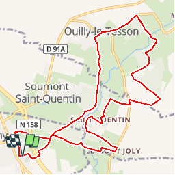

7.1 km | 7.9 km-effort


User


FREE GPS app for hiking
 SityTrail
IGN / Geographical institutes
SityTrail World
The world is yours!
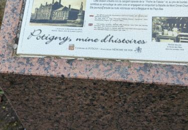
Trail Walking of 11.8 km to be discovered at Normandy, Calvados, Potigny. This trail is proposed by neodraig.
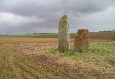
Au beau milieu de la plaine de Falaise, La Brèche au Diable, Terre "ouverte", montagne fendue comme par un coup d'épée et habitée par un torrent tumultueux, vous plongera dans un monde fait de légendes et de rêverie ! D'un côté, des éboulis nés d'un chaos titanesque ou d'un jet de pierres diabolique ; de l'autre, un mur vide et nu, supportant un tombeau en équilibre au-dessus de l'abîme. C'est celui de l'actrice Marie Joty. Ici est intimement liée l'histoire écrite et non écrite
On foot
On foot
On foot
On foot
On foot

On foot
On foot