


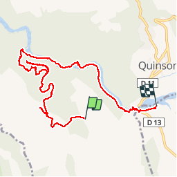

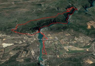
12.7 km | 16.8 km-effort


User


FREE GPS app for hiking
 SityTrail
IGN / Geographical institutes
SityTrail World
The world is yours!
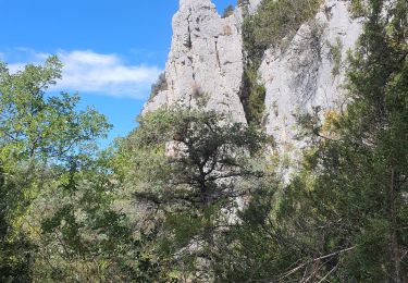
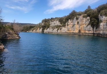
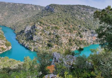
Trail Walking of 10.9 km to be discovered at Provence-Alpes-Côte d'Azur, Alpes-de-Haute-Provence, Quinson. This trail is proposed by Sugg.
10 juin 2015.
Guide : Fernand.
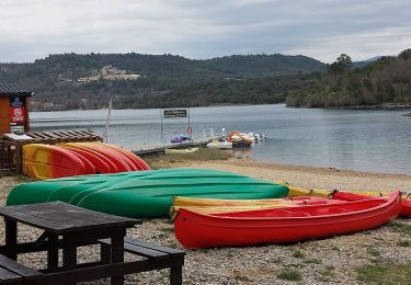
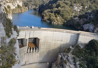
PB de GPS au départ....manque 3 ou 4 kms.Magnifique sortie, surtout le retour le long du verdon et l'ancien canal.
Des variantes sont possibles en 3/4 heures.
Walking
Walking
Walking
Walking
Walking
Walking

Walking
Walking

Mountain bike
quicon