Trail Walking Granville - De Granville a  Hauteville - Photo

De Granville a Hauteville

 sash28
sash28

User

© OpenStreetMap contributors
Length
Length
42 km
Max alt
Max alt
61 m
Uphill gradient
Uphill gradient
307 m
Km-Effort
Km-Effort  
46 km
Min alt
Min alt
0 m
Downhill gradient
Downhill gradient
330 m
Boucle
Boucle
No
Creation date :
2014-12-10 00:00:00.0
Updated on :
2014-12-10 00:00:00.0

(0 Reviews)

Walking
Walking
--
Difficulty : Medium

Scan this QR Code to open this trail in the SityTrail application

FREE GPS app for hiking

Logo SityTrail SityTrail

IGN / Geographical institutes

Download SityTrail from the App Store Download SityTrail from Google Play

Logo SityTrail SityTrail World

The world is yours!

Download SityTrail from the App Store Download SityTrail from Google Play Download SityTrail on Huawei AppGallery

About

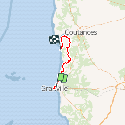
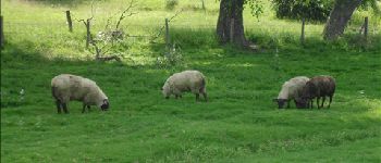
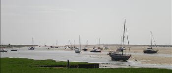
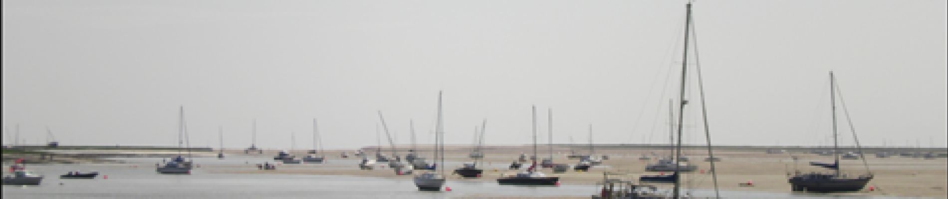
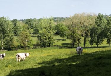
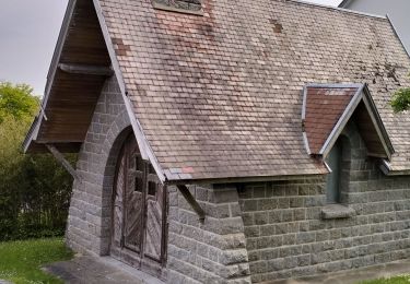
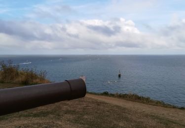
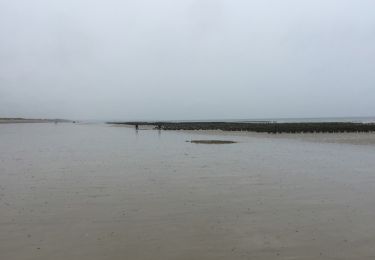
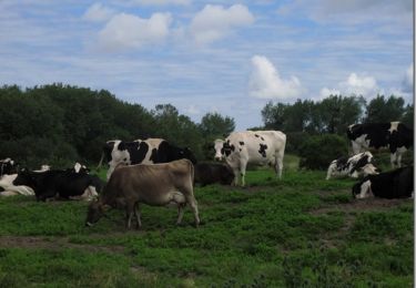
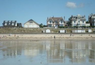
Trail Walking of 42 km to be discovered at Normandy, Manche, Granville. This trail is proposed by sash28.

Description

Depart de Granville jusqu'a Hauteville en empruntant une partie du GR223.

Pour rejoindre Granville, au départ de Hauteville vous avez des cars qui vous y amènent pour pas cher.

Cette rando se fait en 1 journée.

Elevation profile

Photos

Points of interest

Point of interest Bricqueville-sur-Mer - Route Submersible - Photo
sash28
BRICQUEVILLE-SUR-MER 
Point of interest Bricqueville-sur-Mer - Les Salines - Photo
sash28
BRICQUEVILLE-SUR-MER 
Point of interest Montmartin-sur-Mer - Montmartin Sur Mer - Photo
sash28
MONTMARTIN-SUR-MER 
Point of interest Montmartin-sur-Mer - Chemins Barrés - Photo
sash28
MONTMARTIN-SUR-MER 
Point of interest Regnéville-sur-Mer - La Sienne - Photo
sash28
REGNÉVILLE-SUR-MER 
Point of interest Regnéville-sur-Mer - Agneaux de Prés salés - Photo
sash28
REGNÉVILLE-SUR-MER 
Point of interest Regnéville-sur-Mer - Régnéville sur Mer - Photo
sash28
REGNÉVILLE-SUR-MER 

Positioning

Country:
France
Region :
Normandy
Department/Province :
Manche
Municipality :
Granville
Location:
Unknown
Start:(UTM)
603628 ; 5410426 (30U) N.

Trails nearby

Trail Mountain bike Yquelon - La Maximum VTT - Granville - Photo
Mountain bike
tracegps

Mountain bike

Difficult
(1)
Yquelon, Normandy, Manche, France
51 km | 61 km-effort
3h 19min
Yes
Trail Mountain bike Donville-les-Bains - 50-vtt-donville-21km-200m - Photo
Mountain bike
SyMA

Mountain bike

Medium
Donville-les-Bains, Normandy, Manche, France
21 km | 24 km-effort
1h 39min
Yes
Trail Mountain bike Donville-les-Bains - 50-vtt-donville-28km - Photo
Mountain bike
SyMA

Mountain bike

Medium
Donville-les-Bains, Normandy, Manche, France
28 km | 31 km-effort
2h 7min
Yes
Trail Nordic walking Granville - GranvIlle Cap Lihou - Photo
Nordic walking
Patrick Legrand

Nordic walking

Medium
Granville, Normandy, Manche, France
7 km | 8.2 km-effort
1h 7min
Yes
Trail Walking Donville-les-Bains - Donville Granville - Photo
Walking
Roulland

Walking

Easy
Donville-les-Bains, Normandy, Manche, France
5.8 km | 7.6 km-effort
1h 31min
No
Trail Walking Donville-les-Bains - BALANCE SUR LES PLAGES DE BREVILLE - Photo
Walking
EricMathieu

Walking

Very easy
Donville-les-Bains, Normandy, Manche, France
18.3 km | 19.6 km-effort
4h 40min
Yes
Trail Walking Bréville-sur-Mer - Balade à Breville sur Mer - Photo
Walking
tracegps

Walking

Medium
Bréville-sur-Mer, Normandy, Manche, France
14.2 km | 15.4 km-effort
3h 0min
Yes
Trail Walking Granville - Les chemins de Saint Michel - Granville - Avranches - Photo
Walking
tracegps

Walking

Medium
Granville, Normandy, Manche, France
45 km | 52 km-effort
Unknown
No
Trail Walking Saint-Pair-sur-Mer - Saint Pair  - Photo
Walking
serleb

Walking

Very easy
Saint-Pair-sur-Mer, Normandy, Manche, France
5.7 km | 6.7 km-effort
1h 45min
Yes


Close
My subscriptions