


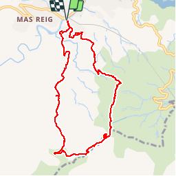

9.3 km | 14.9 km-effort


User


FREE GPS app for hiking
 SityTrail
IGN / Geographical institutes
SityTrail World
The world is yours!
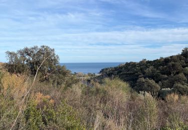
Trail Walking of 9.7 km to be discovered at Occitania, Pyrénées-Orientales, Banyuls-sur-Mer. This trail is proposed by jeff66.
RP 66 BANYULS SUR MER - PUIG del Mas - col del BAST - piste DFCI AL62 -col de CERBÈRE - col de Barlanda - PUIG JOAN - Dolmen - col de la Creu - mas Pages et Ramonet - le 10.03.2017

Walking

Walking

Walking

Walking

Walking
Walking
Walking
Walking
Walking
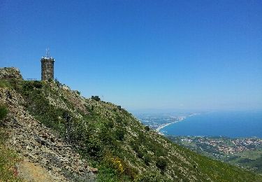
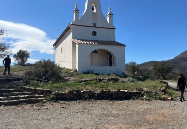
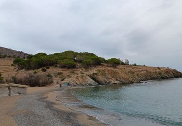
bon tour vue sur Espagne et sur vignoble de Banyus. environ 3h.