


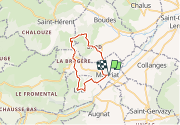

10.9 km | 15.1 km-effort

User GUIDE


FREE GPS app for hiking
 SityTrail
IGN / Geographical institutes
SityTrail World
The world is yours!
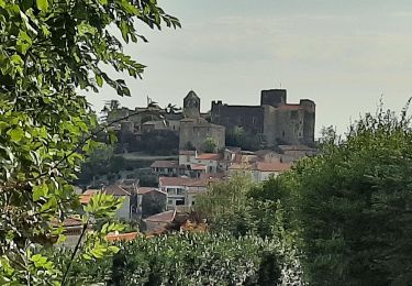
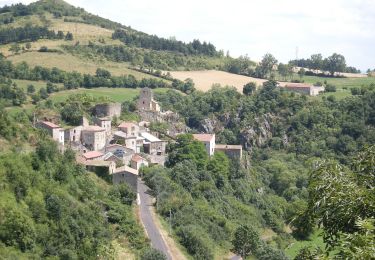
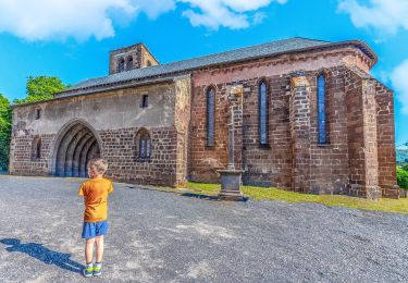
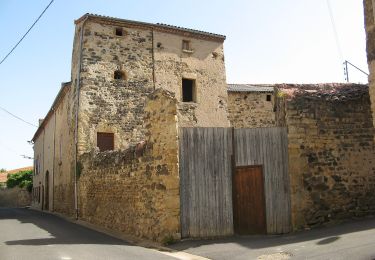
Trail Walking of 10.2 km to be discovered at Auvergne-Rhône-Alpes, Puy-de-Dôme, Madriat. This trail is proposed by jagarnier.
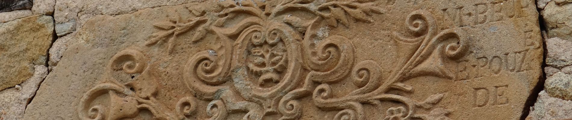
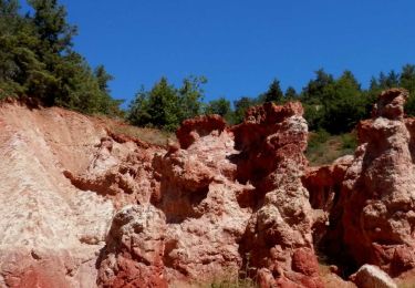
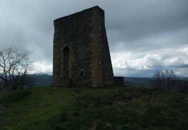
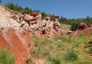
une source salée, des argiles cuites par un ancien climat et saignées par l'érosion, des villages anciennement vignerons ... jalonnent cette boucle qui offre aussi de vastes points de vue sur une plaine plantureuse.

Walking
Walking
On foot
On foot
On foot
On foot
On foot

Cycle

Walking