Trail Walking Braives - Fallais - Fumal  - Photo

Fallais - Fumal

© OpenStreetMap contributors
Length
Length
6.7 km
Max alt
Max alt
152 m
Uphill gradient
Uphill gradient
82 m
Km-Effort
Km-Effort  
7.8 km
Min alt
Min alt
103 m
Downhill gradient
Downhill gradient
83 m
Boucle
Boucle
Yes
Creation date :
24/03/2017 00:00
Updated on :
24/03/2017 00:00

(2 Reviews)

Walking
Walking
1h44
Difficulty : Easy

Scan this QR Code to open this trail in the SityTrail application

FREE GPS app for hiking

Logo SityTrail SityTrail

IGN / Geographical institutes

Download SityTrail from the App Store Download SityTrail from Google Play

Logo SityTrail SityTrail Plus

The world is yours!

Download SityTrail from the App Store Download SityTrail from Google Play Download SityTrail on Huawei AppGallery

About

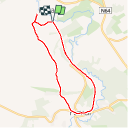
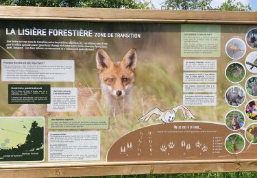
Trail Walking of 6.7 km to be discovered at Wallonia, Liège, Braives. This trail is proposed by nicolibris.

Description

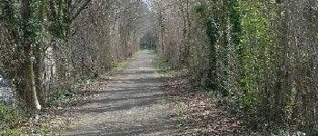
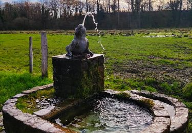
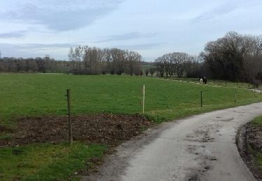
Promenade facile. La première partie emprunte le Ravel qui longe la Mehaigne ; la seconde partie, un chemin de terre sur les hauteurs de la vallée.

Elevation profile

Photos

Points of interest

Point of interest Braives - Point 3 - Photo
nicolibris
BRAIVES 

Positioning

Country:
Belgium
Region :
Wallonia
Department/Province :
Liège
Municipality :
Braives
Location:
Fallais
Start:(UTM)
653906 ; 5608371 (31U) N.

Comments

Please log in to post a review or rate the element


Très belle promenade


Close
My subscriptions