


68 Autour du Fackenthal

LUTZMarc
User
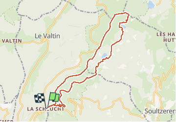

Length
18 km

Max alt
1300 m

Uphill gradient
735 m
Km-Effort
28 km

Min alt
1049 m

Downhill gradient
746 m
Boucle
Yes
Creation date :
2017-06-01 00:00:00.0
Updated on :
2017-06-01 00:00:00.0
4h38
Difficulty : Medium

FREE GPS app for hiking
 SityTrail
IGN / Geographical institutes
SityTrail Plus
The world is yours!
About
Trail Walking of 18 km to be discovered at Grand Est, Haut-Rhin, Stosswihr. This trail is proposed by LUTZMarc.
Description
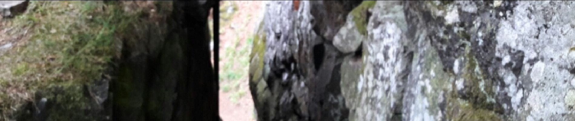
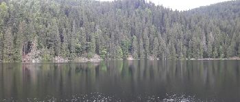
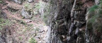
Sentier des crêtes retour par les échelles .
Respecter le sens proposé,le passage dangereux est moins risqué.Les rambardes de sécurité sont plus accessibles.
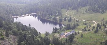
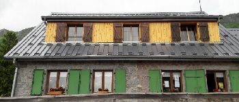
Photos


Positioning
Country:
France
Region :
Grand Est
Department/Province :
Haut-Rhin
Municipality :
Stosswihr
Location:
Unknown
Start:(Dec)
Start:(UTM)
352801 ; 5325326 (32U) N.
Comments