


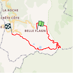


11.1 km | 21 km-effort

User


FREE GPS app for hiking
 SityTrail
IGN / Geographical institutes
SityTrail World
The world is yours!
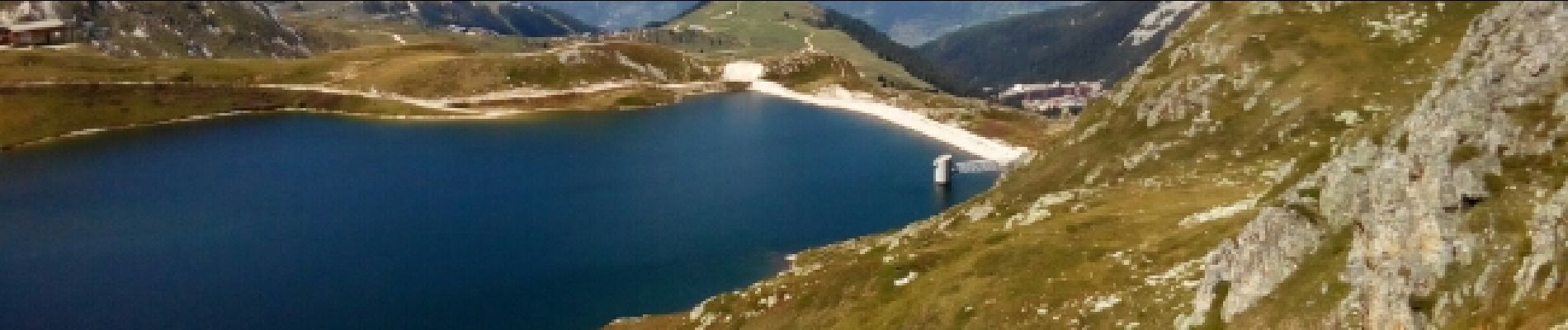
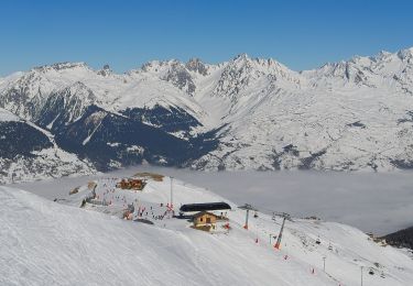
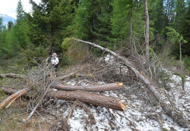
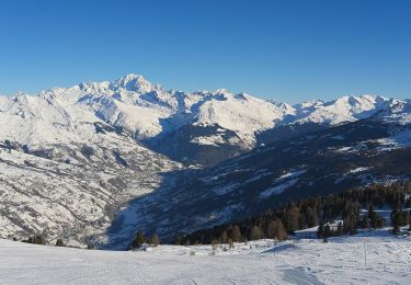
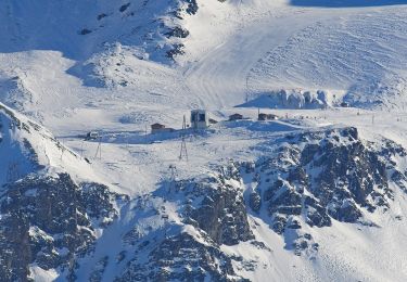
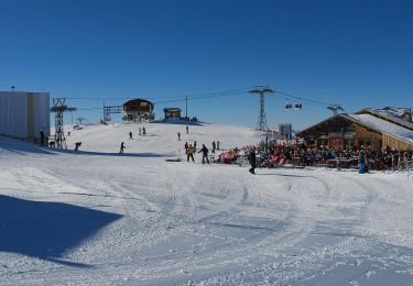
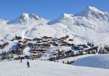
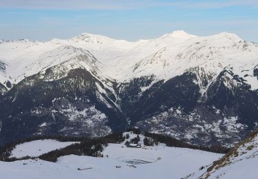
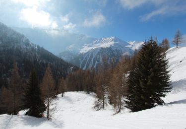
Trail Walking of 12.9 km to be discovered at Auvergne-Rhône-Alpes, Savoy, La Plagne-Tarentaise. This trail is proposed by Bebert64.


On foot
On foot
On foot
On foot
On foot
On foot
On foot

Walking
Snowshoes