


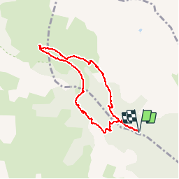

10.1 km | 22 km-effort

User


FREE GPS app for hiking
 SityTrail
IGN / Geographical institutes
SityTrail World
The world is yours!
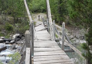
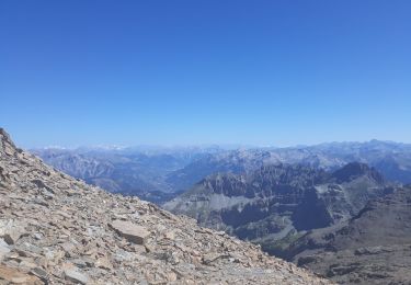
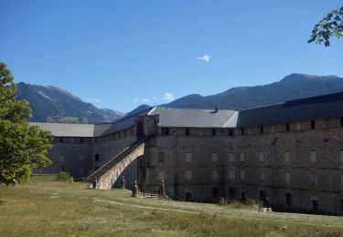
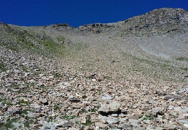
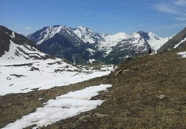
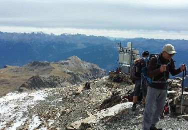
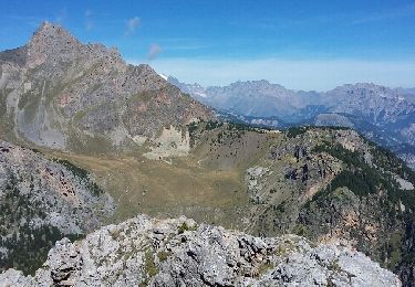
Trail Walking of 7.9 km to be discovered at Provence-Alpes-Côte d'Azur, Hautes-Alpes, Saint-Clément-sur-Durance. This trail is proposed by gildascb.
accès par route forestière. 4x4 ou petite voiture de préférence, sinon, faire attention et rouler lentement


Touring skiing
Walking
Walking
Walking
Walking
Walking
Walking
Walking
Walking
zeer mooie tocht. vrij simpel te doen