


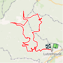


14.9 km | 21 km-effort
![Trail Equestrian Lutzelhouse - 2017-09-10 [R] La porte de Pierre au départ de Lutzelhouse - Photo](https://media.geolcdn.com/t/1900/400/ext.pjpeg?maxdim=2&url=https%3A%2F%2Fstatic1.geolcdn.com%2Fsiteimages%2Fupload%2Ffiles%2F1524743154cheval.jpg)

User


FREE GPS app for hiking
 SityTrail
IGN / Geographical institutes
SityTrail World
The world is yours!
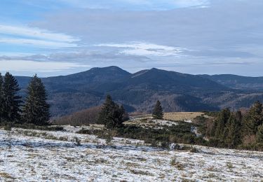
Trail Equestrian of 25 km to be discovered at Grand Est, Bas-Rhin, Lutzelhouse. This trail is proposed by noelle67.
Départ à cheval pour 9h30.
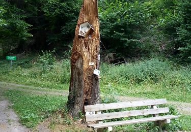
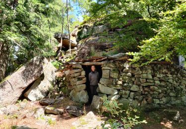
Repas sous un abri couvert " La Baraque aux juifs"
Walking
Walking

Horseback riding

Mountain bike

Mountain bike
Walking
Walking
Horseback riding
Horseback riding