


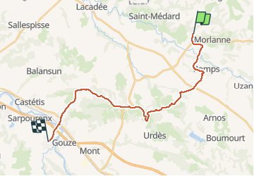

12.3 km | 16.4 km-effort


User


FREE GPS app for hiking
 SityTrail
IGN / Geographical institutes
SityTrail World
The world is yours!
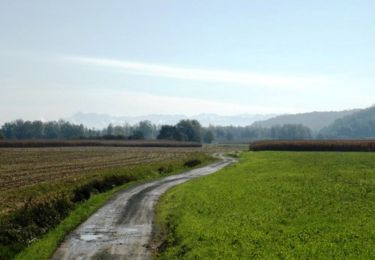
Trail Walking of 25 km to be discovered at New Aquitaine, Pyrénées-Atlantiques, Casteide-Candau. This trail is proposed by uru2010.
Chemin de Compostelle
Casteide -> Maslacq
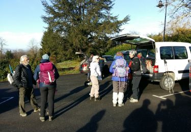
Walking
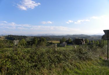
Walking
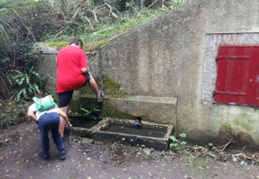
Walking
Walking

Walking
Walking
Walking
Walking
Walking