


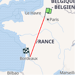

11.5 km | 13.5 km-effort


User





FREE GPS app for hiking
 SityTrail
IGN / Geographical institutes


SityTrail World
The world is yours!

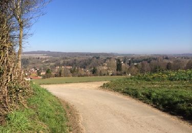
Trail Walking of 526 km to be discovered at Ile-de-France, Yvelines, Jambville. This trail is proposed by lsg1956.
Walking


Nordic walking
Walking
Walking
Walking

Walking
Walking


On foot

On foot