


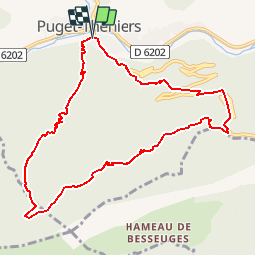

9.1 km | 17.8 km-effort


User


FREE GPS app for hiking
 SityTrail
IGN / Geographical institutes
SityTrail World
The world is yours!
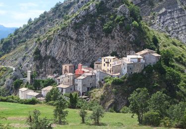
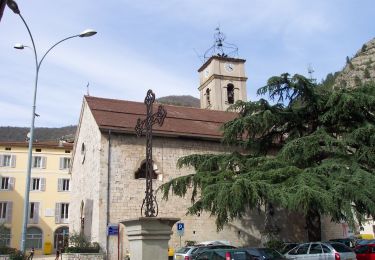
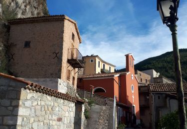
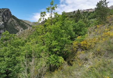
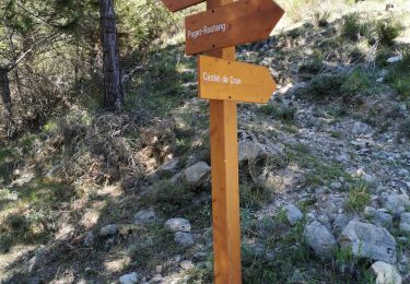
Trail Walking of 10.4 km to be discovered at Provence-Alpes-Côte d'Azur, Maritime Alps, Puget-Théniers. This trail is proposed by eaea7charles.
suivre le GR 510 après être passé le var sur le pont de l'avenue alexandre Bottin, et ce jusqu'aux ruines Sigaud. Quitter le GR en direction du Bruyet, les Aigas. Retour vers Puget par la D2211a
On foot
On foot

Walking

Snowshoes
Walking

Walking

On foot
Walking
Walking